MyTopo
Dixon NE South Dakota US Topo Map
Couldn't load pickup availability
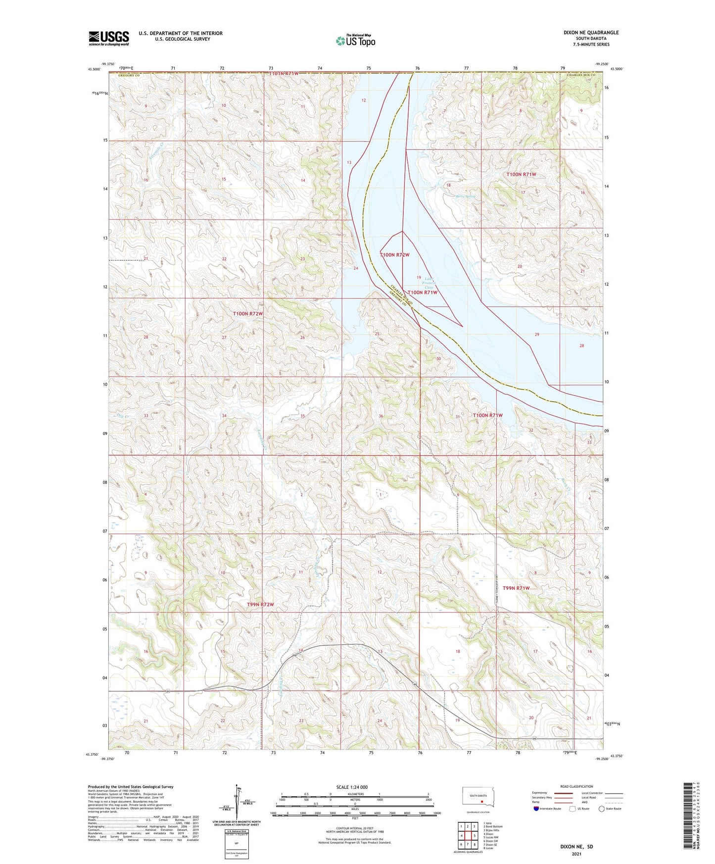
2021 topographic map quadrangle Dixon NE in the state of South Dakota. Scale: 1:24000. Based on the newly updated USGS 7.5' US Topo map series, this map is in the following counties: Gregory, Charles Mix, Lyman, Brule. The map contains contour data, water features, and other items you are used to seeing on USGS maps, but also has updated roads and other features. This is the next generation of topographic maps. Printed on high-quality waterproof paper with UV fade-resistant inks.
Quads adjacent to this one:
West: Dixon
Northwest: Iona
North: Bond Bottom
Northeast: Bijou Hills
East: Lucas NW
Southeast: Lucas
South: Dixon SE
Southwest: Dixon SW
This map covers the same area as the classic USGS quad with code o43099d3.
Contains the following named places: Berry Spring, Bijous Trading Post, Dry Creek, Durex Island, Landing Creek, Rosebud Landing, Rush Creek, Township of Landing Creek