MyTopo
Bowdle SW South Dakota US Topo Map
Couldn't load pickup availability
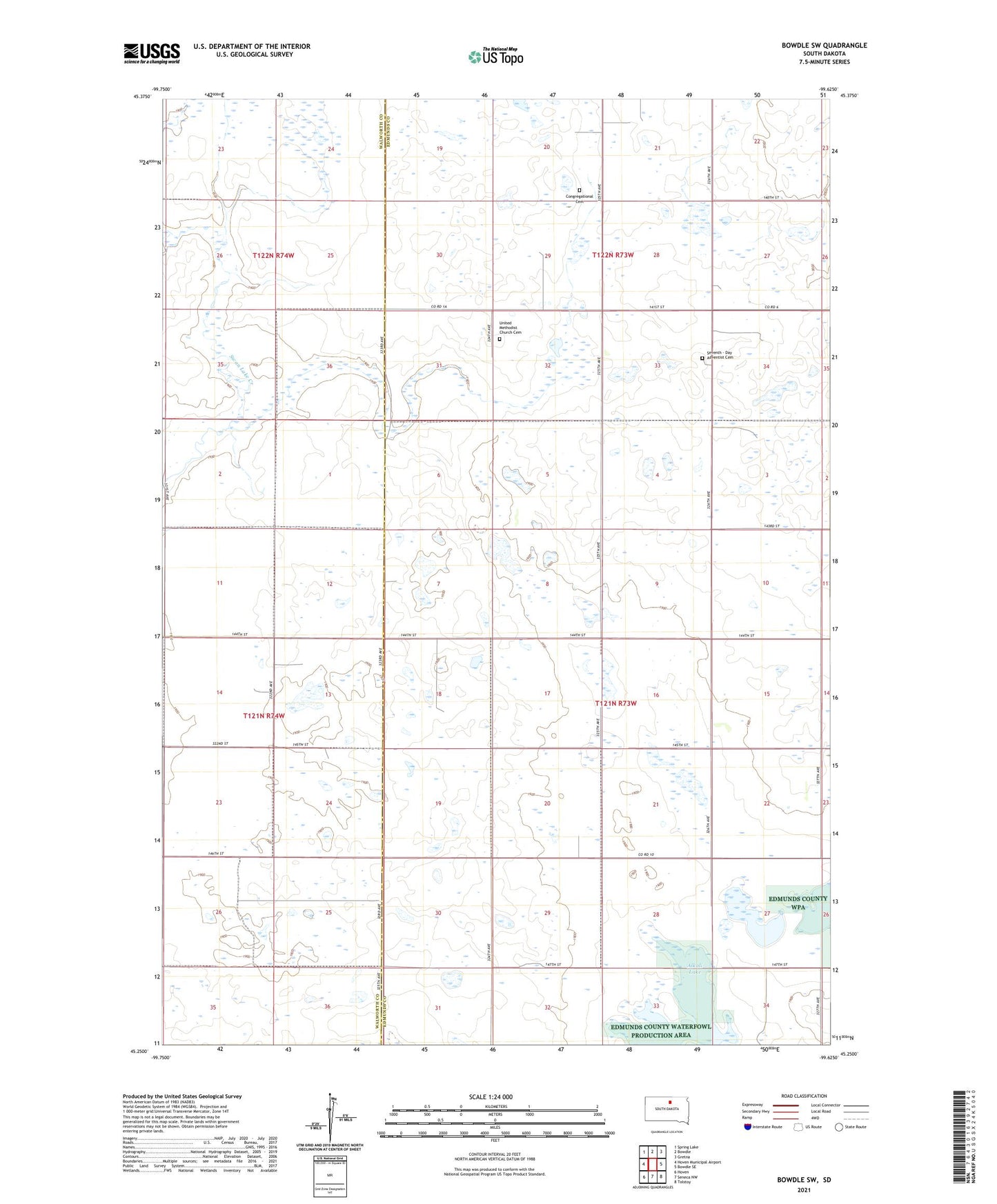
2021 topographic map quadrangle Bowdle SW in the state of South Dakota. Scale: 1:24000. Based on the newly updated USGS 7.5' US Topo map series, this map is in the following counties: Edmunds, Walworth. The map contains contour data, water features, and other items you are used to seeing on USGS maps, but also has updated roads and other features. This is the next generation of topographic maps. Printed on high-quality waterproof paper with UV fade-resistant inks.
Quads adjacent to this one:
West: Hoven Municipal Airport
Northwest: Spring Lake
North: Bowdle
Northeast: Gretna
East: Bowdle SE
Southeast: Tolstoy
South: Seneca NW
Southwest: Hoven
This map covers the same area as the classic USGS quad with code o45099c6.
Contains the following named places: Alkali Lake, Congregational Cemetery, Seventh - Day Adventist Cemetery, Township of Hudson, United Methodist Church, United Methodist Church Cemetery