MyTopo
Buffalo Gap South Dakota US Topo Map
Couldn't load pickup availability
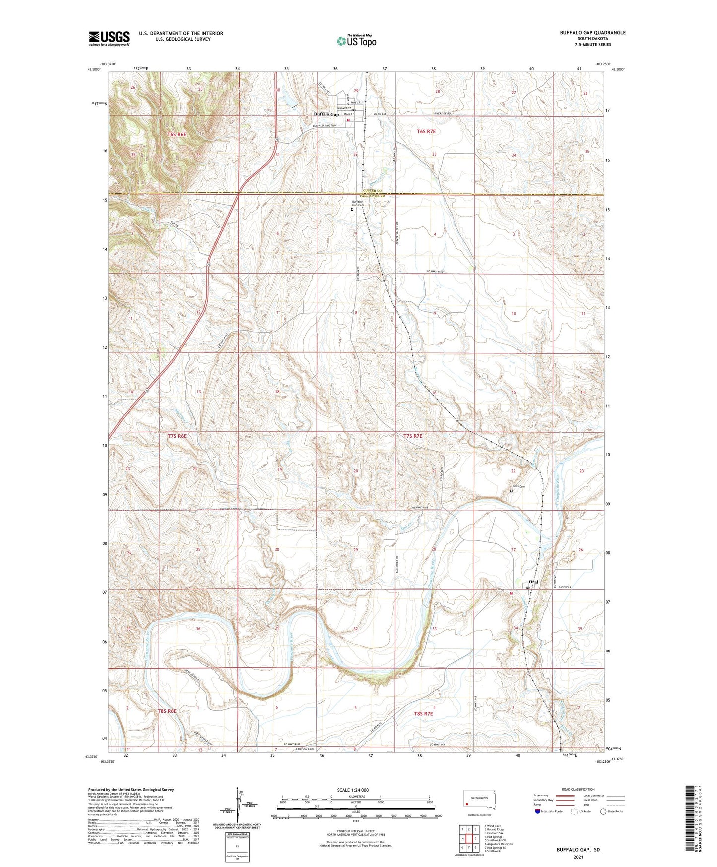
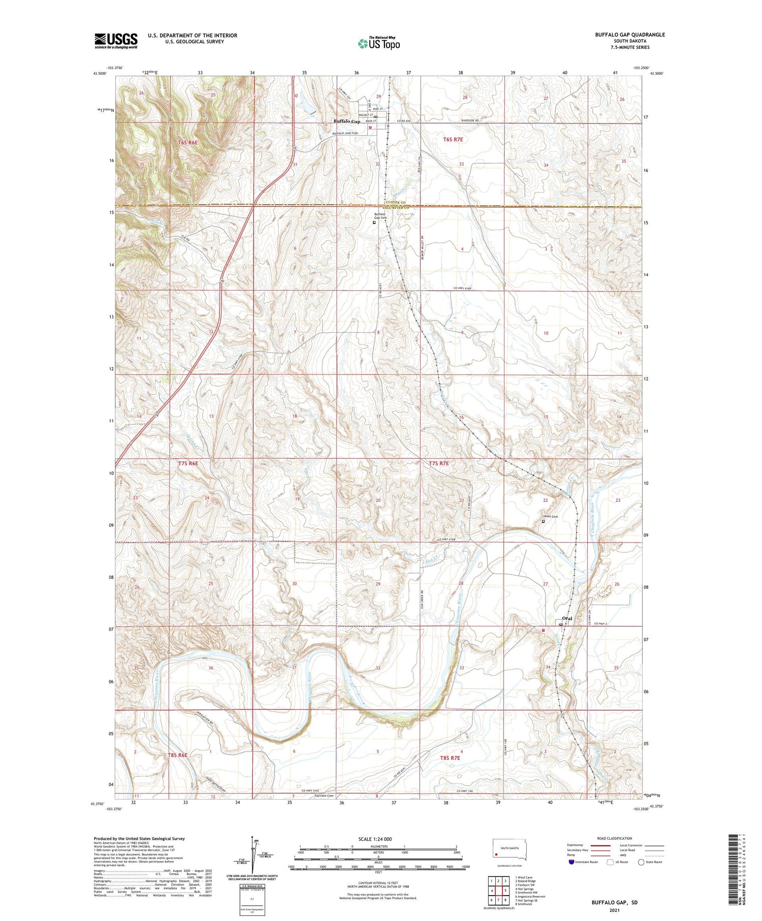
2021 topographic map quadrangle Buffalo Gap in the state of South Dakota. Scale: 1:24000. Based on the newly updated USGS 7.5' US Topo map series, this map is in the following counties: Fall River, Custer. The map contains contour data, water features, and other items you are used to seeing on USGS maps, but also has updated roads and other features. This is the next generation of topographic maps. Printed on high-quality waterproof paper with UV fade-resistant inks.
Quads adjacent to this one:
West: Hot Springs
Northwest: Wind Cave
North: Boland Ridge
Northeast: Fairburn SW
East: Smithwick NW
Southeast: Smithwick
South: Hot Springs SE
Southwest: Angostura Reservoir
Contains the following named places: Beaver Creek, Buffalo Gap, Buffalo Gap Cemetery, Buffalo Gap Fire Department, Buffalo Gap Post Office, Elm Creek, Elm Creek Siding, Fairview School, Falls School, Friedrick School, Hines Cemetery, Oral, Oral Census Designated Place, Oral Fire Department, Oral Post Office, Sand Creek, Slate Spring Draw, Spring Creek, Town of Buffalo Gap, Township of Beaver