MyTopo
Boland Ridge South Dakota US Topo Map
Couldn't load pickup availability
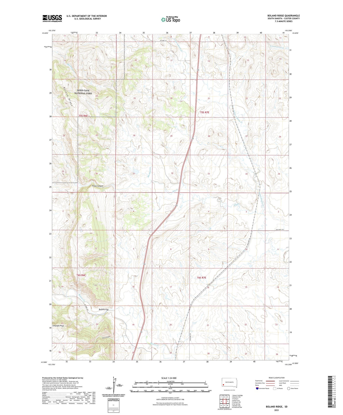
2021 topographic map quadrangle Boland Ridge in the state of South Dakota. Scale: 1:24000. Based on the newly updated USGS 7.5' US Topo map series, this map is in the following counties: Custer. The map contains contour data, water features, and other items you are used to seeing on USGS maps, but also has updated roads and other features. This is the next generation of topographic maps. Printed on high-quality waterproof paper with UV fade-resistant inks.
Quads adjacent to this one:
West: Wind Cave
Northwest: Mount Coolidge
North: Butcher Hill
Northeast: Fairburn
East: Fairburn SW
Southeast: Smithwick NW
South: Buffalo Gap
Southwest: Hot Springs
This map covers the same area as the classic USGS quad with code o43103e3.
Contains the following named places: Blacktail Creek, Boland Ridge, Buffalo Gap, Calico Canyon, Dry Creek, Englebrecht Dam, Fuson Canyon, Schnose Dam Number 1, Schnose Dam Number 2, Streeter Dam, Unkpapa Peak