MyTopo
Chapelle Lake SE South Dakota US Topo Map
Couldn't load pickup availability
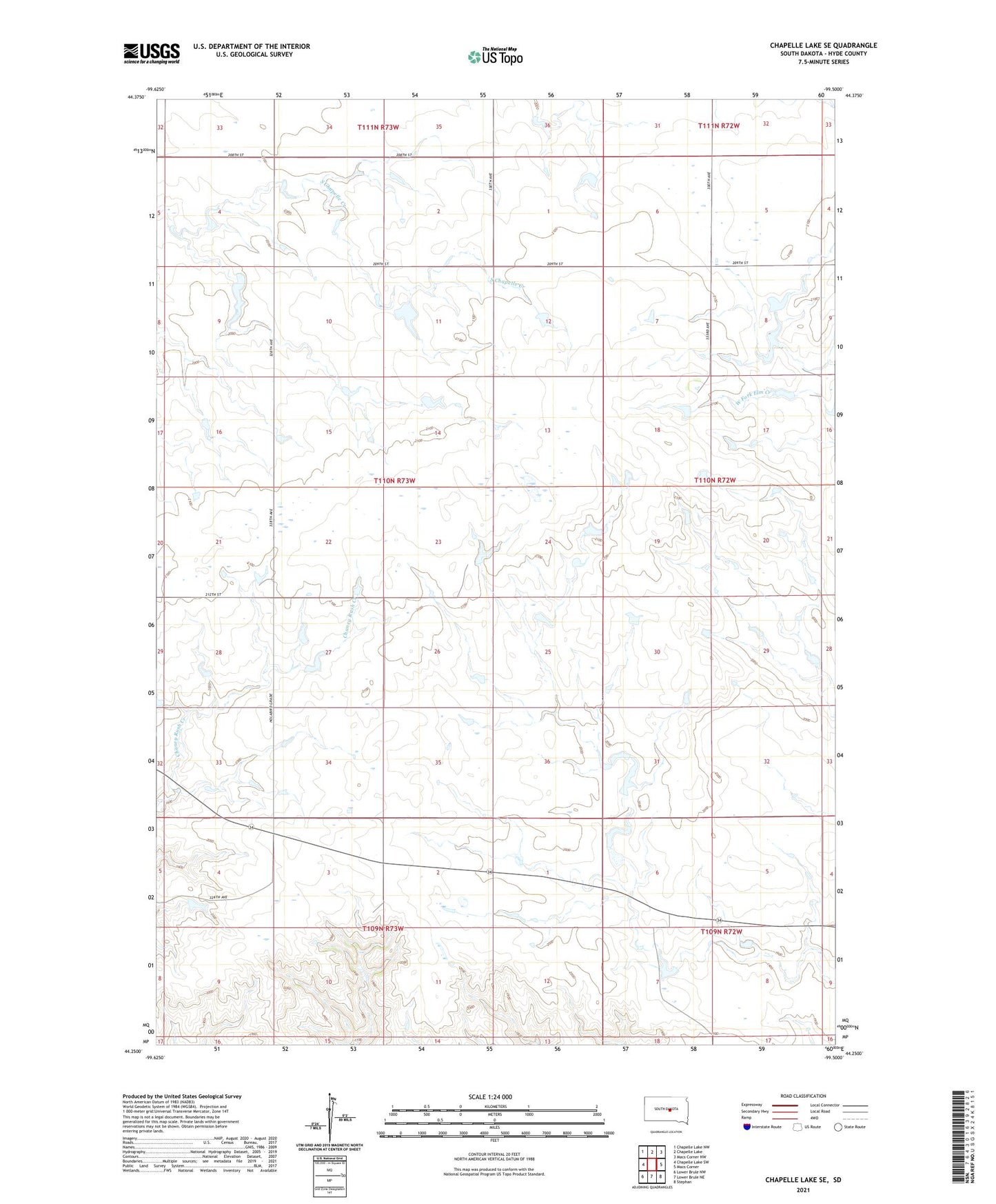
2021 topographic map quadrangle Chapelle Lake SE in the state of South Dakota. Scale: 1:24000. Based on the newly updated USGS 7.5' US Topo map series, this map is in the following counties: Hyde. The map contains contour data, water features, and other items you are used to seeing on USGS maps, but also has updated roads and other features. This is the next generation of topographic maps. Printed on high-quality waterproof paper with UV fade-resistant inks.
Quads adjacent to this one:
West: Chapelle Lake SW
Northwest: Chapelle Lake NW
North: Chapelle Lake
Northeast: Macs Corner NW
East: Macs Corner
Southeast: Stephan
South: Lower Brule NE
Southwest: Lower Brule NW
This map covers the same area as the classic USGS quad with code o44099c5.
Contains the following named places: J Peterson Dam, L Runestad Dam, Pratt School, Township of Pratt, W Knox Dam