MyTopo
Cresbard NE South Dakota US Topo Map
Couldn't load pickup availability
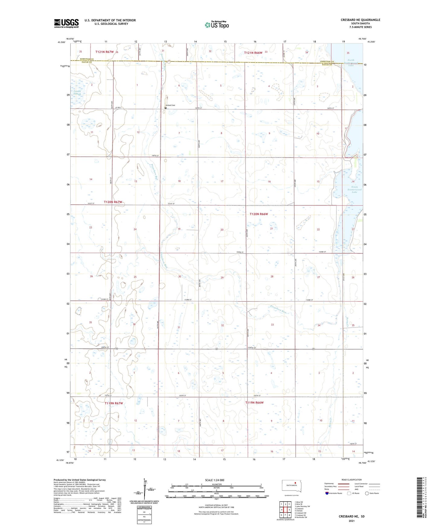
2021 topographic map quadrangle Cresbard NE in the state of South Dakota. Scale: 1:24000. Based on the newly updated USGS 7.5' US Topo map series, this map is in the following counties: Faulk, Edmunds. The map contains contour data, water features, and other items you are used to seeing on USGS maps, but also has updated roads and other features. This is the next generation of topographic maps. Printed on high-quality waterproof paper with UV fade-resistant inks.
Quads adjacent to this one:
West: Cresbard
Northwest: Mina SW
North: Mina SE
Northeast: Lake Parmley SW
East: Chelsea
Southeast: Northville SW
South: Cresbard SE
Southwest: Cresbard SW
This map covers the same area as the classic USGS quad with code o45098b7.
Contains the following named places: Preachers Run, Scatterwood, Scatterwood Community Building, Scatterwood Lake, Tomek Slough, Township of Scatterwood, Township of Union, United Cemetery