MyTopo
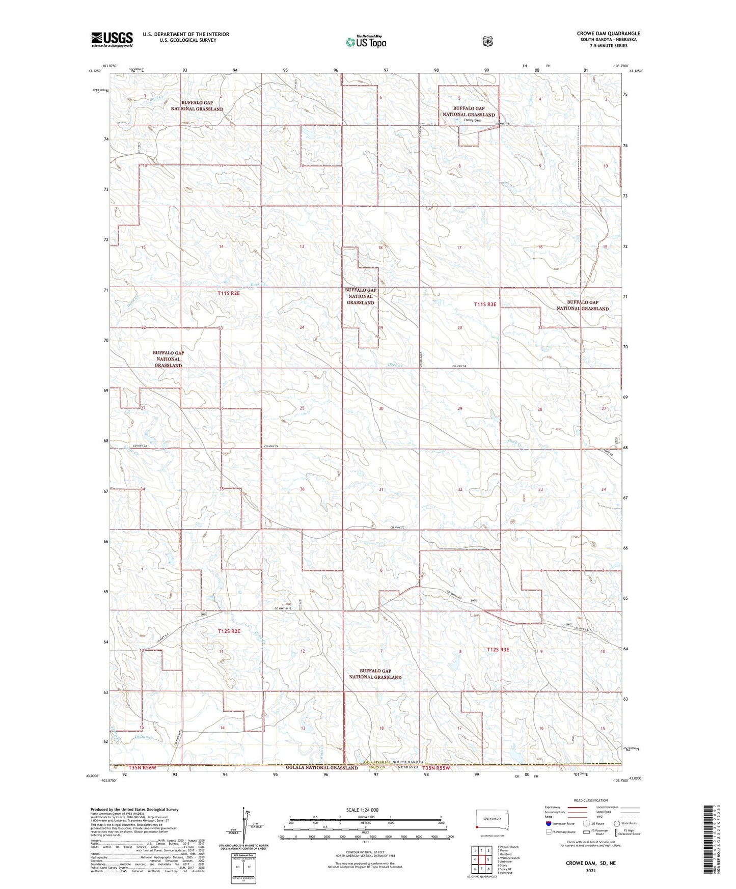
Crowe Dam South Dakota US Topo Map
Couldn't load pickup availability
Also explore the Crowe Dam Forest Service Topo of this same quad for updated USFS data
2021 topographic map quadrangle Crowe Dam in the state of South Dakota. Scale: 1:24000. Based on the newly updated USGS 7.5' US Topo map series, this map is in the following counties: Fall River, Sioux. The map contains contour data, water features, and other items you are used to seeing on USGS maps, but also has updated roads and other features. This is the next generation of topographic maps. Printed on high-quality waterproof paper with UV fade-resistant inks.
Quads adjacent to this one:
West: Wallace Ranch
Northwest: Phister Ranch
North: Provo
Northeast: Rumford
East: Ardmore
Southeast: Montrose
South: Story NE
Southwest: Story
This map covers the same area as the classic USGS quad with code o43103a7.
Contains the following named places: Camp Creek, Caylor Ranch Dam, Crow Creek, Crowe Dam, Duck Creek Dam Number 2, Roller School, Township of Indian, Trotter Ranch Dam