MyTopo
Haynes SE South Dakota US Topo Map
Couldn't load pickup availability
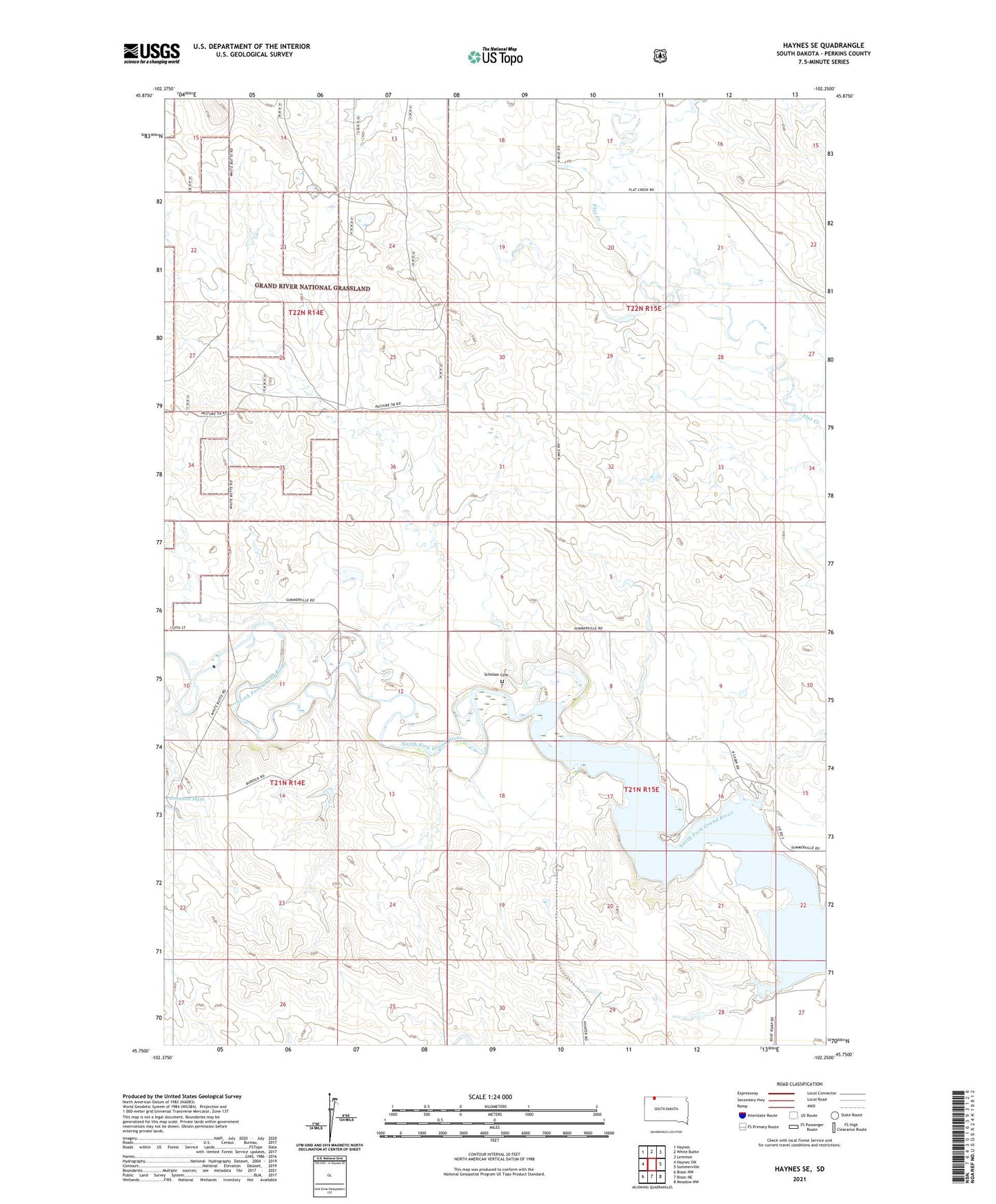
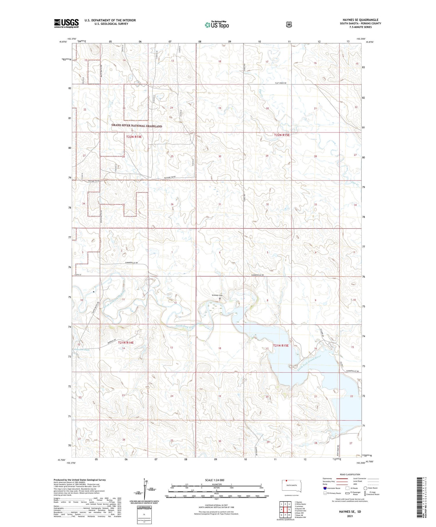
2021 topographic map quadrangle Haynes SE in the state of South Dakota. Scale: 1:24000. Based on the newly updated USGS 7.5' US Topo map series, this map is in the following counties: Perkins. The map contains contour data, water features, and other items you are used to seeing on USGS maps, but also has updated roads and other features. This is the next generation of topographic maps. Printed on high-quality waterproof paper with UV fade-resistant inks.
Quads adjacent to this one:
West: Haynes SW
North: White Butte
Northeast: Lemmon
East: Summerville
Southeast: Meadow NW
South: Bison NE
Southwest: Bison NW
Contains the following named places: Burdick School, North Fork Grand River, Rosebad School, Scholass Cemetery, Township of Flat Creek, Township of Seim, Unorganized Territory of Seim