MyTopo
Herbert Creek SE South Dakota US Topo Map
Couldn't load pickup availability
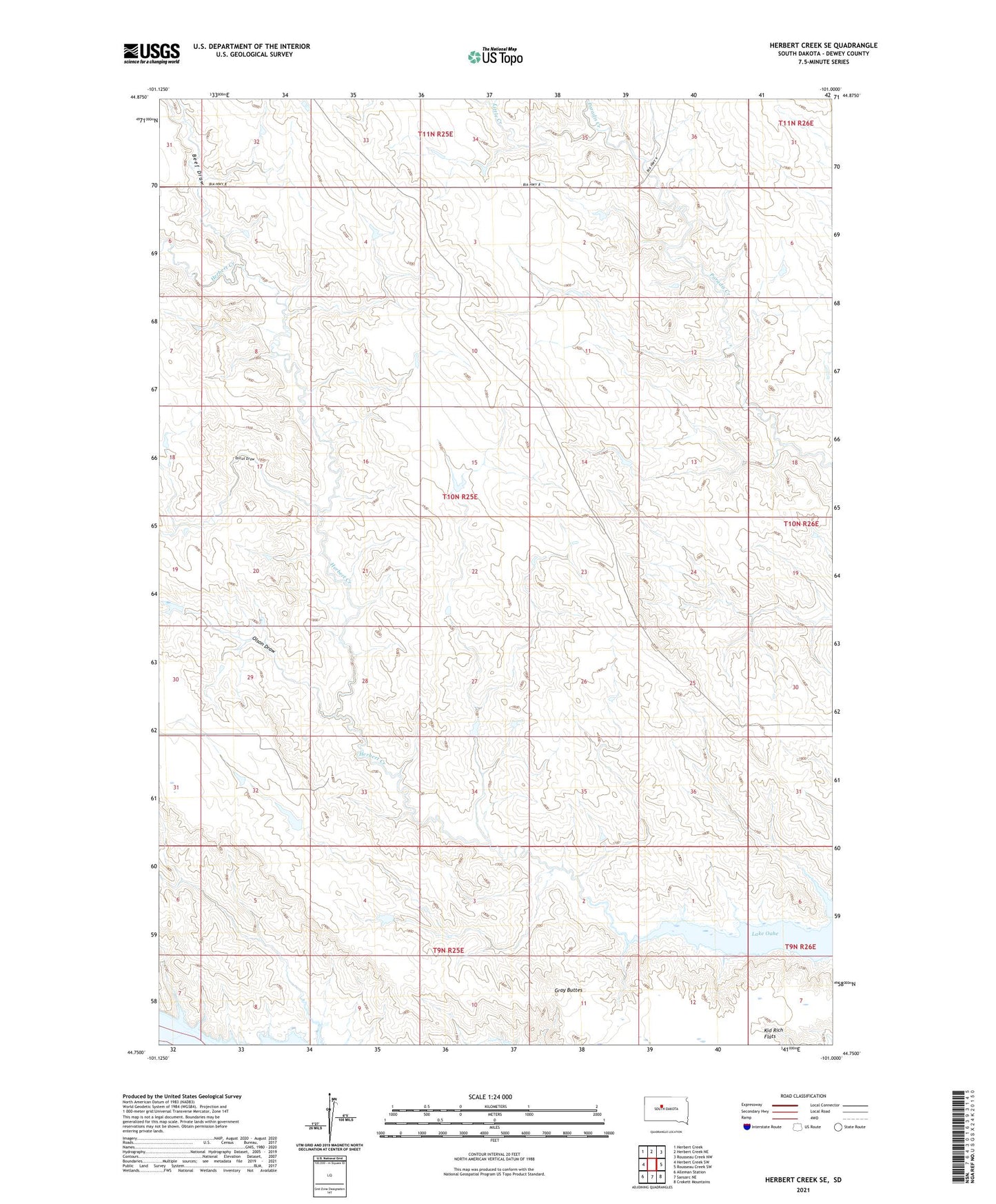
2021 topographic map quadrangle Herbert Creek SE in the state of South Dakota. Scale: 1:24000. Based on the newly updated USGS 7.5' US Topo map series, this map is in the following counties: Dewey. The map contains contour data, water features, and other items you are used to seeing on USGS maps, but also has updated roads and other features. This is the next generation of topographic maps. Printed on high-quality waterproof paper with UV fade-resistant inks.
Quads adjacent to this one:
West: Herbert Creek SW
Northwest: Herbert Creek
North: Herbert Creek NE
Northeast: Rousseau Creek NW
East: Rousseau Creek SW
Southeast: Crokett Mountains
South: Sansarc NE
Southwest: Alleman Station
This map covers the same area as the classic USGS quad with code o44101g1.
Contains the following named places: Beef Draw, Collamar Church, Gray Buttes, Kid Rich Flats, Little Creek, Olson Draw, Talcut Draw