MyTopo
Joubert South Dakota US Topo Map
Couldn't load pickup availability
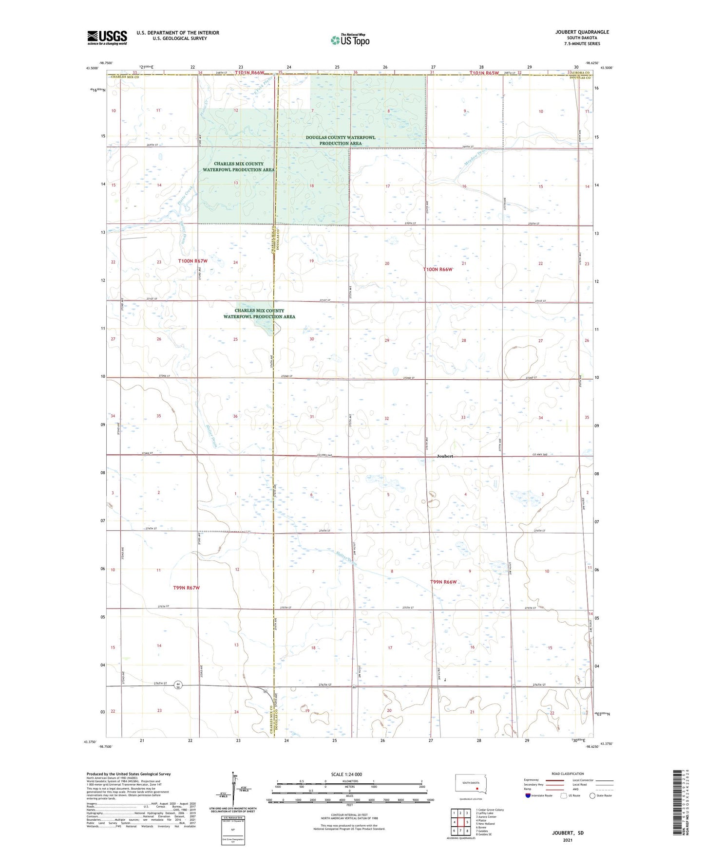
2021 topographic map quadrangle Joubert in the state of South Dakota. Scale: 1:24000. Based on the newly updated USGS 7.5' US Topo map series, this map is in the following counties: Douglas, Charles Mix, Aurora. The map contains contour data, water features, and other items you are used to seeing on USGS maps, but also has updated roads and other features. This is the next generation of topographic maps. Printed on high-quality waterproof paper with UV fade-resistant inks.
Quads adjacent to this one:
West: Platte
Northwest: Cedar Grove Colony
North: Laffey Lake
Northeast: Aurora Center
East: New Holland
Southeast: Geddes SE
South: Geddes
Southwest: Bovee
Contains the following named places: Charles Mix County Waterfowl Production Area, Clark Joubert School, Dakota Christian Elementary School, Dakota Christian High School, Douglas County Waterfowl Production Area, East Fork Platte Creek, Hennink School, Jongejeugd School, Joubert, Joubert Lake, Joubert Post Office, Joubert Townhall, Sluiter Drain, Tiemens School, Township of Clark, Township of Joubert, ZIP Code: 57344