
MyTopo
Ladner SE South Dakota US Topo Map
Couldn't load pickup availability
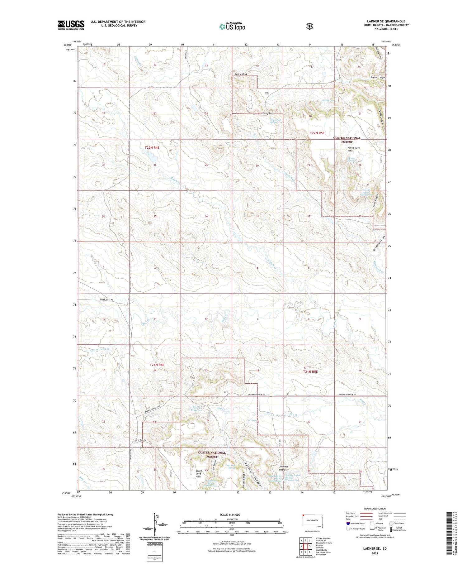
2021 topographic map quadrangle Ladner SE in the state of South Dakota. Scale: 1:24000. Based on the newly updated USGS 7.5' US Topo map series, this map is in the following counties: Harding. The map contains contour data, water features, and other items you are used to seeing on USGS maps, but also has updated roads and other features. This is the next generation of topographic maps. Printed on high-quality waterproof paper with UV fade-resistant inks.
Quads adjacent to this one:
West: Ladner
Northwest: Table Mountain
North: Ladner NE
Northeast: Eagles Nest Butte
East: Ludlow
Southeast: Hay Creek
South: McKenzie Butte
Southwest: Lahti Butte
Contains the following named places: Alice Spring, Castle Rock, Cottonwood Creek, Craig Pass, Craig Pass Spring, Devils Canyon, Dry Creek Reservoir, Dry Creek Spring, East Clarkson Well, Ewing County, Icebox Canyon, J B Clarkson Spring Number Two, J C Spring, J Clarkson Ranch, Johnny Pocket Spring Number One, Johnny Pocket Spring Number Two, Johnnys Pocket, Lane Canyon, M Clarkson Ranch, Middle Creek, North Bull Creek, North Clarkson Well, Peterson Canyon, Sawmill Canyon, Schleichart Draw, South Bull Creek, Timber Canyon, Travers Spring, Travers Spring Number One, W J Johnson Ranch


