MyTopo
Lemmon Lake South Dakota US Topo Map
Couldn't load pickup availability
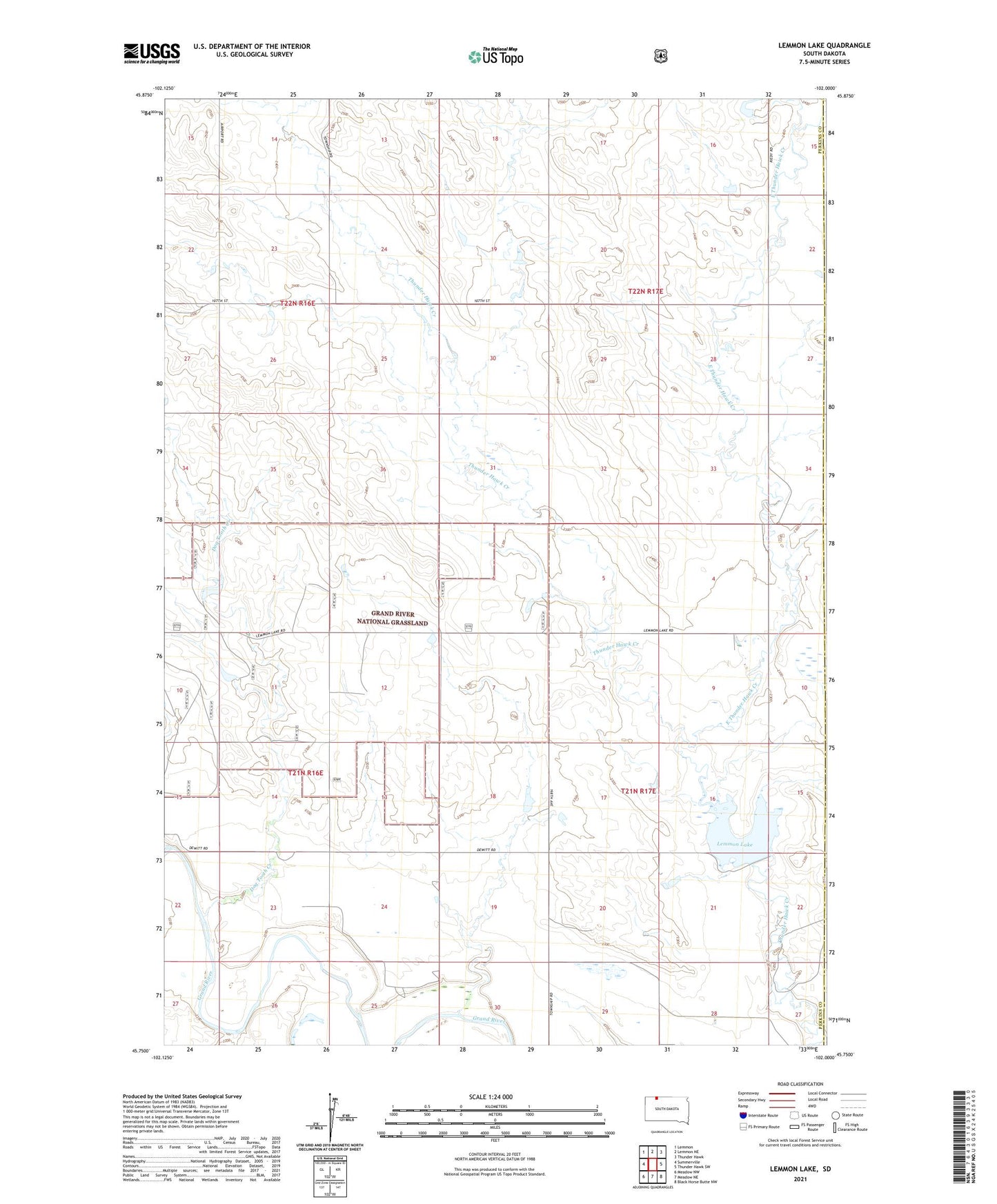
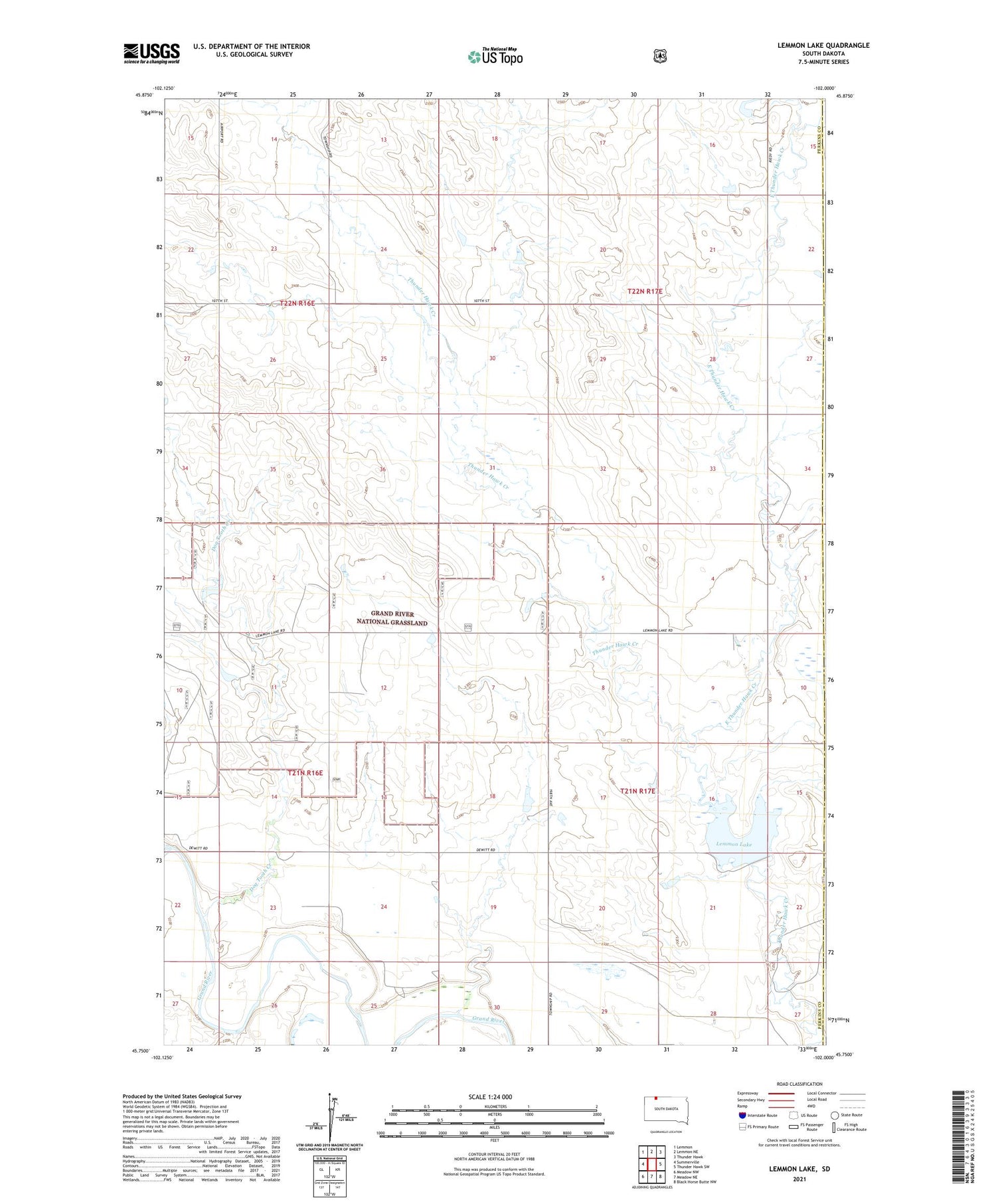
2021 topographic map quadrangle Lemmon Lake in the state of South Dakota. Scale: 1:24000. Based on the newly updated USGS 7.5' US Topo map series, this map is in the following counties: Perkins, Corson. The map contains contour data, water features, and other items you are used to seeing on USGS maps, but also has updated roads and other features. This is the next generation of topographic maps. Printed on high-quality waterproof paper with UV fade-resistant inks.
Quads adjacent to this one:
West: Summerville
Northwest: Lemmon
North: Lemmon NE
Northeast: Thunder Hawk
East: Thunder Hawk SW
Southeast: Black Horse Butte NW
South: Meadow NE
Southwest: Meadow NW
Contains the following named places: Dewitt School, Dog Tooth Creek, East Thunder Hawk Creek, Lemmon Lake, Lemmon Lake State Game Production Area, Lemmon State Lake Dam, Penfield School, Reidy Dam, Township of De Witt