MyTopo
Mahto NE South Dakota US Topo Map
Couldn't load pickup availability
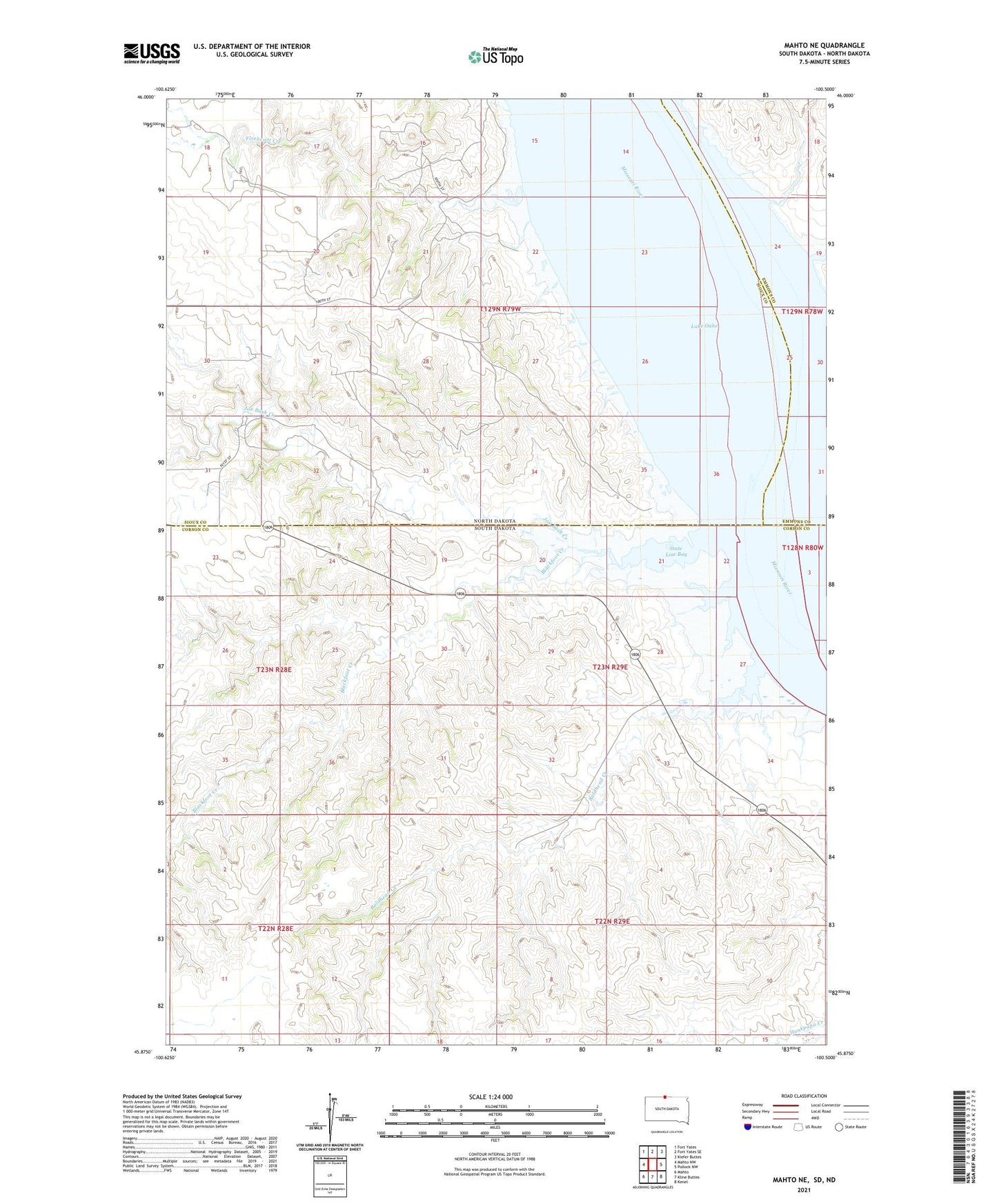
2021 topographic map quadrangle Mahto NE in the states of South Dakota, North Dakota. Scale: 1:24000. Based on the newly updated USGS 7.5' US Topo map series, this map is in the following counties: Corson, Sioux, Emmons. The map contains contour data, water features, and other items you are used to seeing on USGS maps, but also has updated roads and other features. This is the next generation of topographic maps. Printed on high-quality waterproof paper with UV fade-resistant inks.
Quads adjacent to this one:
West: Mahto NW
Northwest: Fort Yates
North: Fort Yates SE
Northeast: Kiefer Buttes
East: Pollock NW
Southeast: Kenel
South: Kline Buttes
Southwest: Mahto
This map covers the same area as the classic USGS quad with code o45100h5.
Contains the following named places: Baldhead Creek, Black Foot Bottom, Blackfoot Creek, Fireheart Creek, Fred Hertel Dam, Joe Bush Creek, Kenel District, State Line Bay, Wood Hawk Bend