MyTopo
Marlow South Dakota US Topo Map
Couldn't load pickup availability
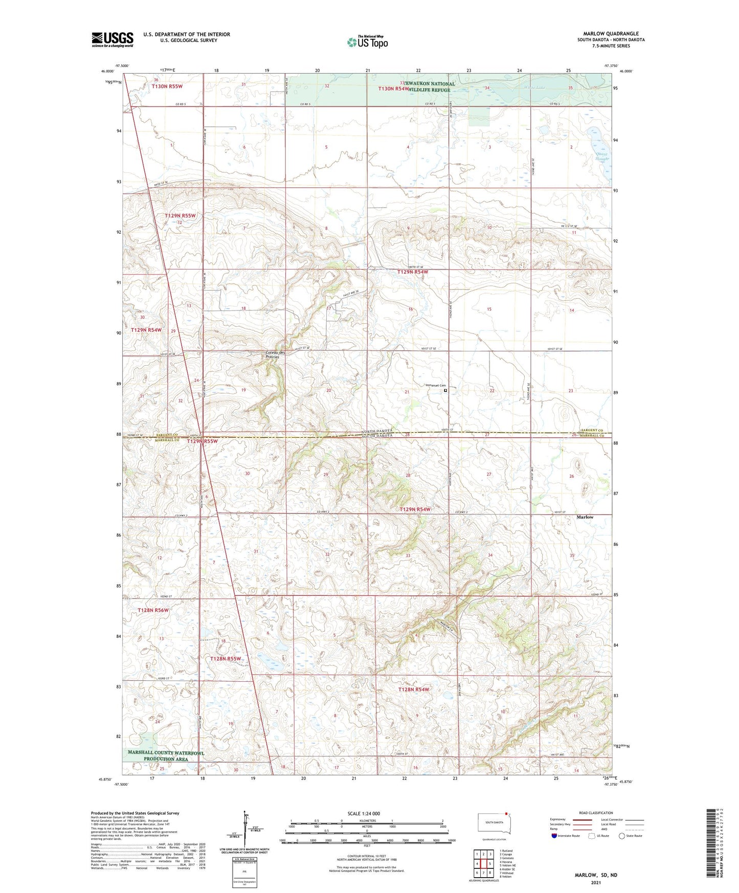
2021 topographic map quadrangle Marlow in the states of North Dakota, South Dakota. Scale: 1:24000. Based on the newly updated USGS 7.5' US Topo map series, this map is in the following counties: Marshall, Sargent. The map contains contour data, water features, and other items you are used to seeing on USGS maps, but also has updated roads and other features. This is the next generation of topographic maps. Printed on high-quality waterproof paper with UV fade-resistant inks.
Quads adjacent to this one:
West: Havana
Northwest: Rutland
North: Cayuga
Northeast: Geneseo
East: Veblen NE
Southeast: Veblen
South: Hillhead
Southwest: Kidder SE
Contains the following named places: Emmanuel Church, Immanuel Cemetery, Marlow, Quant Slough, School Number 1, Tewaukon WS-T-7 Dam, Township of La Belle, Township of Tewaukon, White Lake