MyTopo
Midland South Dakota US Topo Map
Couldn't load pickup availability
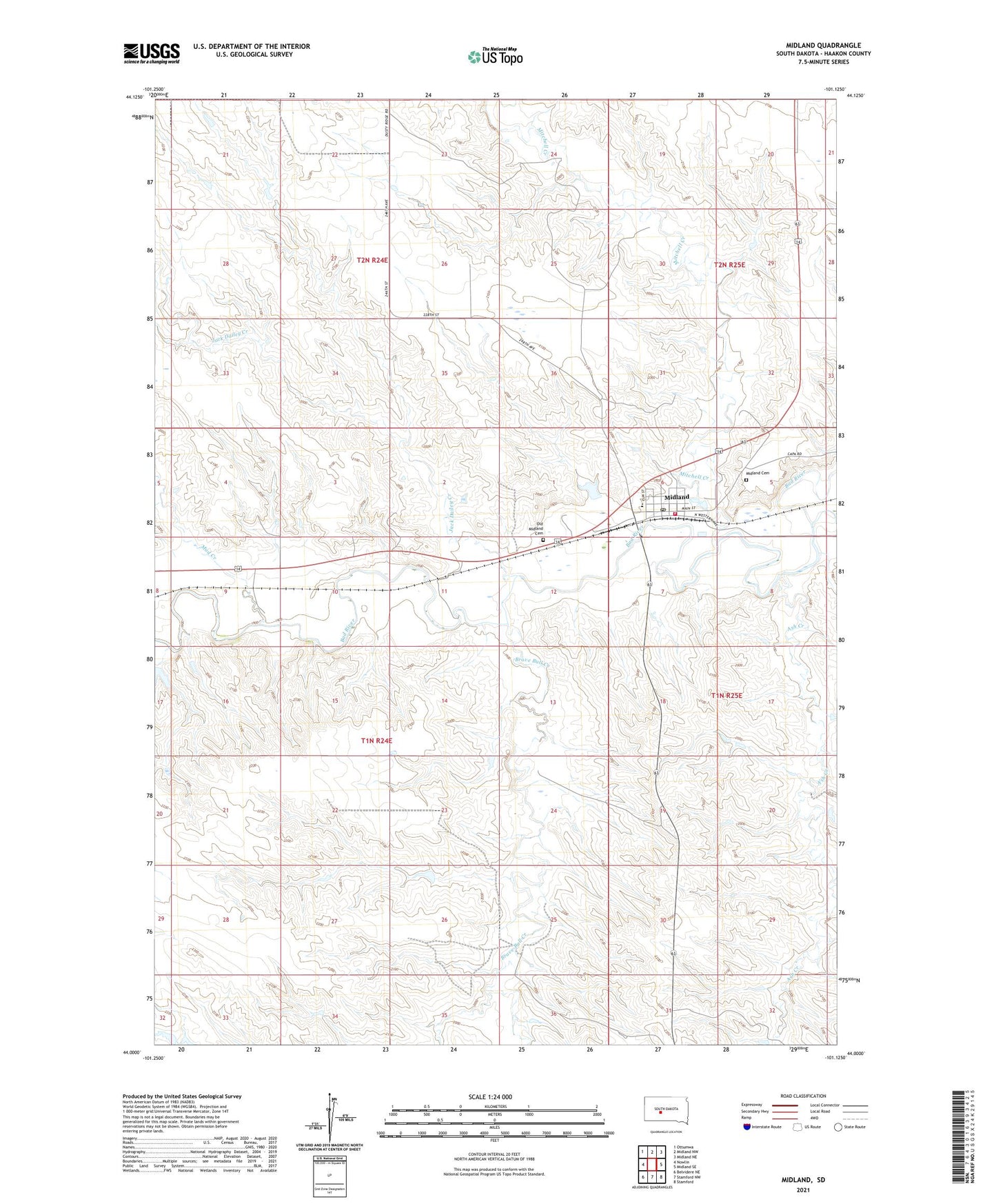
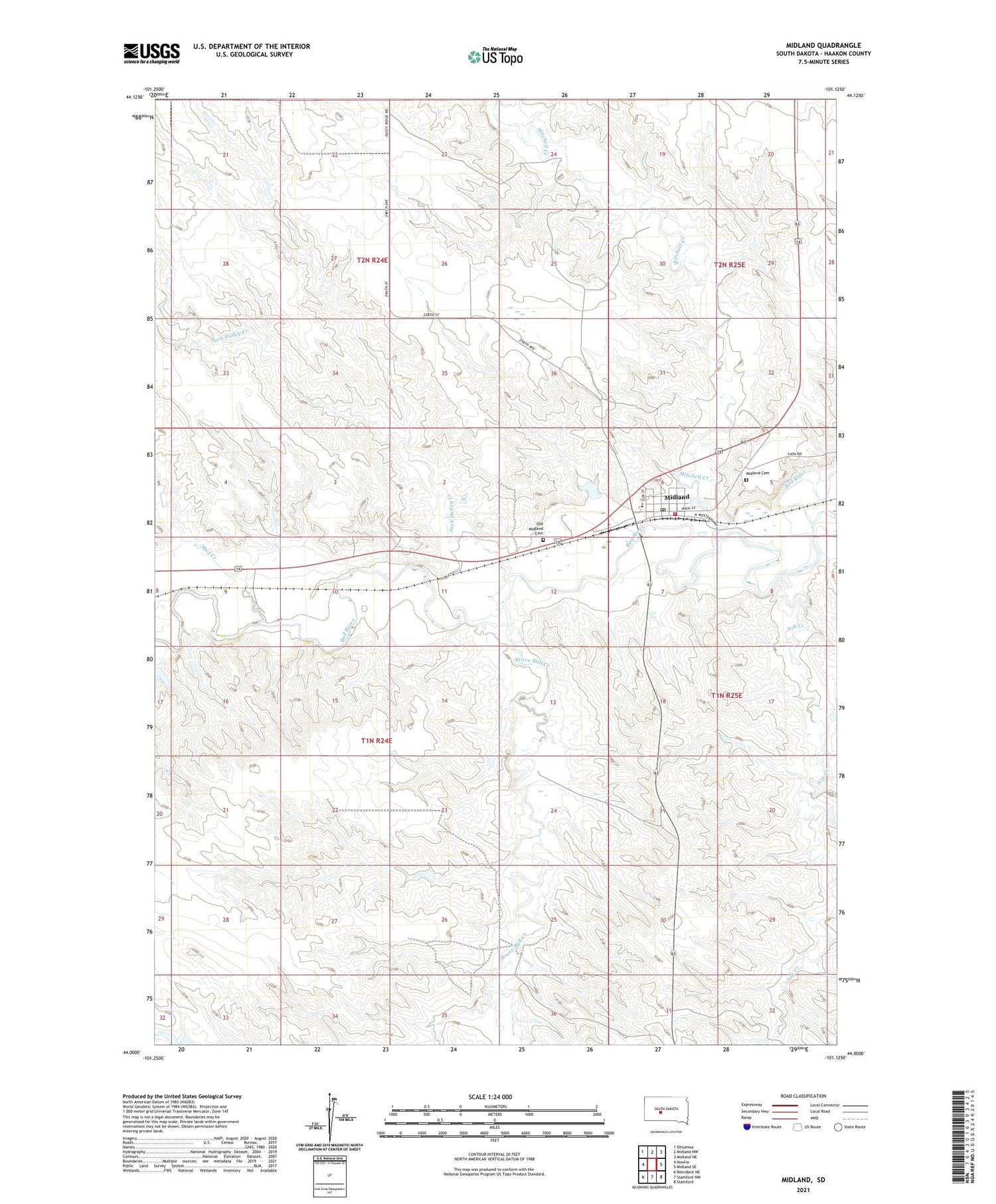
2021 topographic map quadrangle Midland in the state of South Dakota. Scale: 1:24000. Based on the newly updated USGS 7.5' US Topo map series, this map is in the following counties: Haakon. The map contains contour data, water features, and other items you are used to seeing on USGS maps, but also has updated roads and other features. This is the next generation of topographic maps. Printed on high-quality waterproof paper with UV fade-resistant inks.
Quads adjacent to this one:
West: Nowlin
Northwest: Ottumwa
North: Midland NW
Northeast: Midland NE
East: Midland SE
Southeast: Stamford
South: Stamford NW
Southwest: Belvidere NE
Contains the following named places: Ash Creek, Brave Bull Creek, Center School, Jack Dailey Creek, Midland, Midland Area Emergency Medical Services, Midland Cemetery, Midland City Office, Midland Community Library, Midland Dam, Midland Elementary School, Midland Fire Department, Midland Pioneer Museum, Midland Post Office, Mitchell Creek, Mud Creek, Old Midland Cemetery, Town of Midland, Township of Center