MyTopo
Midland NW South Dakota US Topo Map
Couldn't load pickup availability
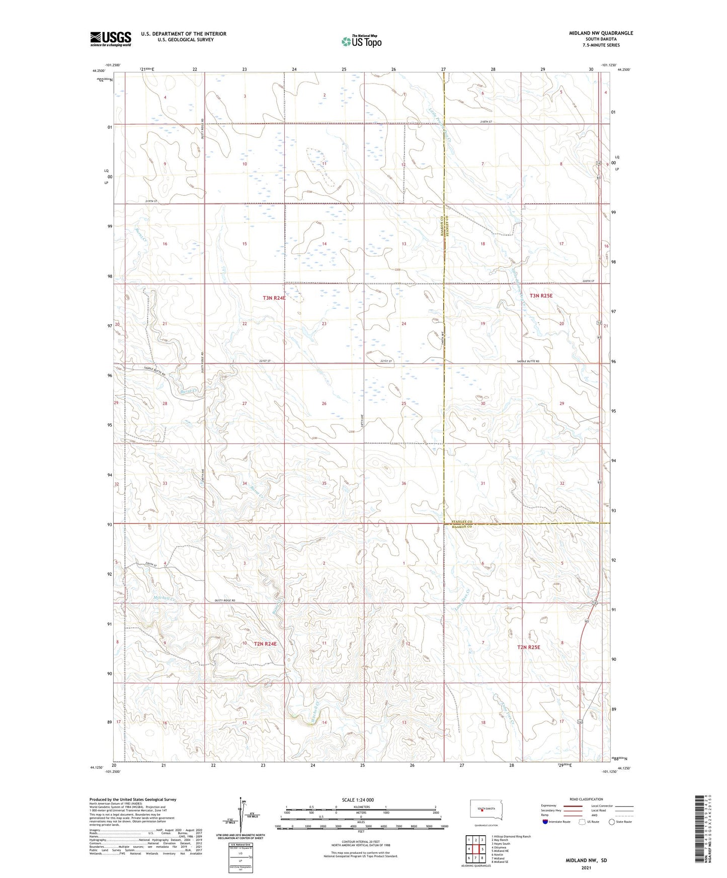
2021 topographic map quadrangle Midland NW in the state of South Dakota. Scale: 1:24000. Based on the newly updated USGS 7.5' US Topo map series, this map is in the following counties: Haakon, Stanley. The map contains contour data, water features, and other items you are used to seeing on USGS maps, but also has updated roads and other features. This is the next generation of topographic maps. Printed on high-quality waterproof paper with UV fade-resistant inks.
Quads adjacent to this one:
West: Ottumwa
Northwest: Hilltop Diamond Ring Ranch
North: May Ranch
Northeast: Hayes South
East: Midland NE
Southeast: Midland SE
South: Midland
Southwest: Nowlin
This map covers the same area as the classic USGS quad with code o44101b2.
Contains the following named places: Armstrong Ranch, Blucher Ranch, Burnt Creek, C Schwalm Ranch, Erne Stnemec Number 1 Dam, F Schwalm Ranch, Hagan Ranch, Jones Ranch, Larsen Ranch, M A Curtis Dam, Nemec Ranch, Seidler Ranch, Snook Ranch, Township of Kiser