MyTopo
Miller Dale Colony NW South Dakota US Topo Map
Couldn't load pickup availability
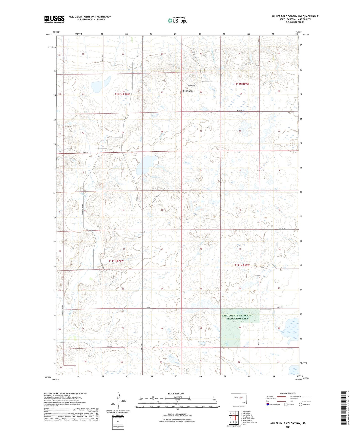
2021 topographic map quadrangle Miller Dale Colony NW in the state of South Dakota. Scale: 1:24000. Based on the newly updated USGS 7.5' US Topo map series, this map is in the following counties: Hand. The map contains contour data, water features, and other items you are used to seeing on USGS maps, but also has updated roads and other features. This is the next generation of topographic maps. Printed on high-quality waterproof paper with UV fade-resistant inks.
Quads adjacent to this one:
West: Macs Corner NE
Northwest: Highmore SE
North: Ree Heights
Northeast: Ree Heights SE
East: Miller Dale Colony
Southeast: Ames
South: Miller Dale Colony SW
Southwest: Macs Corner SE
This map covers the same area as the classic USGS quad with code o44099d2.
Contains the following named places: B Deuter Dam, R Allgaier Dam, R Paine Dam, Ree Heights, Ree Hills, Township of Ree Heights, Township of Rockdale, Township of Spring Hill