MyTopo
Mobridge South Dakota US Topo Map
Couldn't load pickup availability
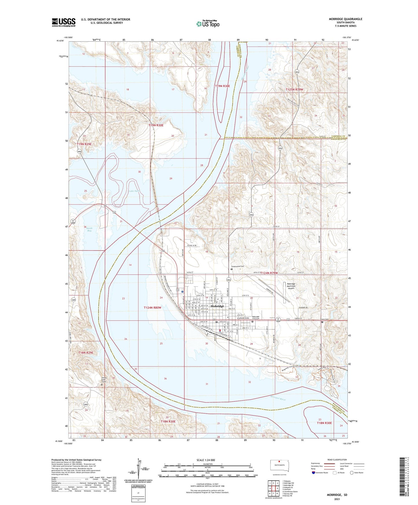
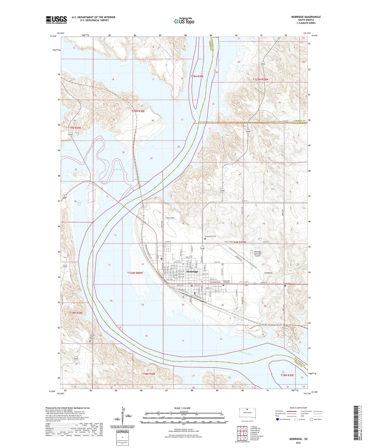
2021 topographic map quadrangle Mobridge in the state of South Dakota. Scale: 1:24000. Based on the newly updated USGS 7.5' US Topo map series, this map is in the following counties: Walworth, Corson, Campbell. The map contains contour data, water features, and other items you are used to seeing on USGS maps, but also has updated roads and other features. This is the next generation of topographic maps. Printed on high-quality waterproof paper with UV fade-resistant inks.
Quads adjacent to this one:
West: Wakpala SE
Northwest: Wakpala
North: Mobridge NW
Northeast: Mobridge NE
East: Glenham
Southeast: Moreau NE
South: Moreau NW
Southwest: Laundreaux Butte
Contains the following named places: A H Brown Public Library, Ashley Island, Beadle School, Bethel Bible Camp, Blue Blanket Island, City of Mobridge, Deadman Creek, Flora Post Office, Freeman Davis Elementary School, Grace Cemetery, Grand River, Greenwood Cemetery, Indian Creek Recreation Area, Indian Memorial Recreation Area, Klein Museum, Mobridge, Mobridge - Pollock Upper Elementary School, Mobridge Airport, Mobridge Catholic Church, Mobridge City Cemetery, Mobridge City Hall, Mobridge Fire Department, Mobridge High School, Mobridge Middle School, Mobridge Municipal Airport, Mobridge Police Department, Mobridge Post Office, Mobridge Regional Hospital and Clinic, Moreau, Northwestern Lutheran Academy, Oahe Hills Country Club, Oak Creek, Pheasant Drive-In, Sakakawea Monument, Scherr Howe Arena, Sitting Bulls Grave, Smith Bay, Stratton, T Scholzen-Glen Schillingstad Dam, Township of Flora, Township of Grand Crossing