MyTopo
Wakpala SE South Dakota US Topo Map
Couldn't load pickup availability
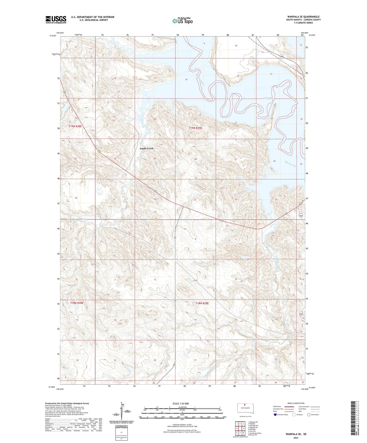
2021 topographic map quadrangle Wakpala SE in the state of South Dakota. Scale: 1:24000. Based on the newly updated USGS 7.5' US Topo map series, this map is in the following counties: Corson. The map contains contour data, water features, and other items you are used to seeing on USGS maps, but also has updated roads and other features. This is the next generation of topographic maps. Printed on high-quality waterproof paper with UV fade-resistant inks.
Quads adjacent to this one:
West: Wakpala SW
Northwest: Wakpala NW
North: Wakpala
Northeast: Mobridge NW
East: Mobridge
Southeast: Moreau NW
South: Laundreaux Butte
Southwest: Trail City
This map covers the same area as the classic USGS quad with code o45100e5.
Contains the following named places: Claymore Creek, Deep Bank Creek, J B Love Dam, Snake Creek, Township of Ridgeland, Wakpala District