MyTopo
Oelrichs NE South Dakota US Topo Map
Couldn't load pickup availability
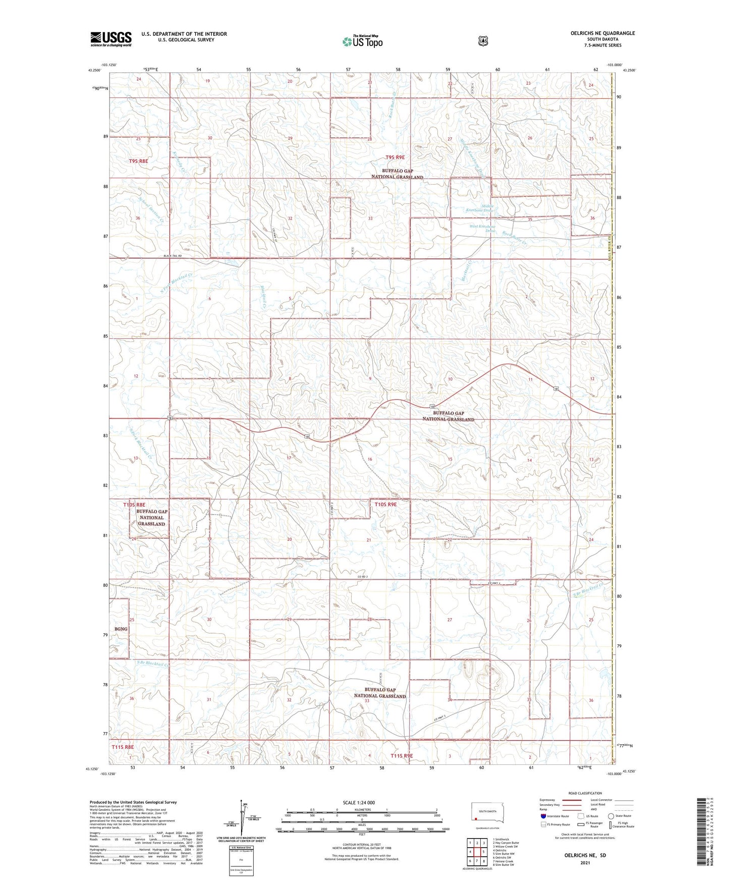
2021 topographic map quadrangle Oelrichs NE in the state of South Dakota. Scale: 1:24000. Based on the newly updated USGS 7.5' US Topo map series, this map is in the following counties: Fall River, Oglala Lakota. The map contains contour data, water features, and other items you are used to seeing on USGS maps, but also has updated roads and other features. This is the next generation of topographic maps. Printed on high-quality waterproof paper with UV fade-resistant inks.
Quads adjacent to this one:
West: Oelrichs
Northwest: Smithwick
North: Hay Canyon Butte
Northeast: Willow Creek SW
East: Slim Butte NW
Southeast: Slim Butte SW
South: Heinne Creek
Southwest: Oelrichs SW
Contains the following named places: Burgess Big Dam, Kennedy Creek, Middle Kneebone Draw, North Fork Blacktail Creek, Rock Butte Creek, School Section Creek, Township of Flat Butte, West Kneebone Draw