MyTopo
Slim Butte NW South Dakota US Topo Map
Couldn't load pickup availability
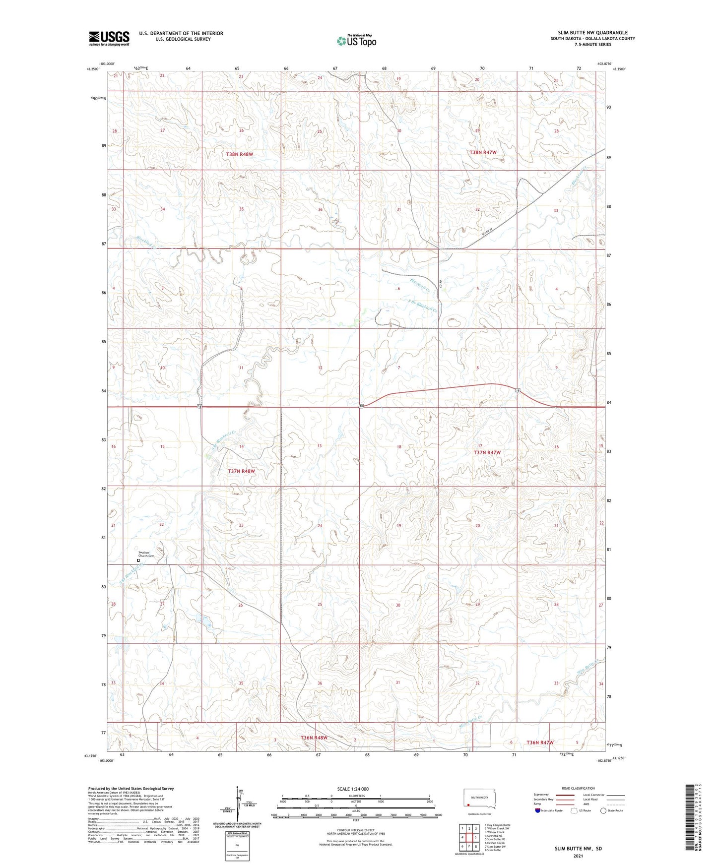
2021 topographic map quadrangle Slim Butte NW in the state of South Dakota. Scale: 1:24000. Based on the newly updated USGS 7.5' US Topo map series, this map is in the following counties: Oglala Lakota. The map contains contour data, water features, and other items you are used to seeing on USGS maps, but also has updated roads and other features. This is the next generation of topographic maps. Printed on high-quality waterproof paper with UV fade-resistant inks.
Quads adjacent to this one:
West: Oelrichs NE
Northwest: Hay Canyon Butte
North: Willow Creek SW
Northeast: Willow Creek
East: Slim Butte NE
Southeast: Slim Butte
South: Slim Butte SW
Southwest: Heinne Creek
This map covers the same area as the classic USGS quad with code o43102b8.
Contains the following named places: South Branch Blacktail Creek, Swallow Church, Swallow Church Cemetery