MyTopo
Oglala South Dakota US Topo Map
Couldn't load pickup availability
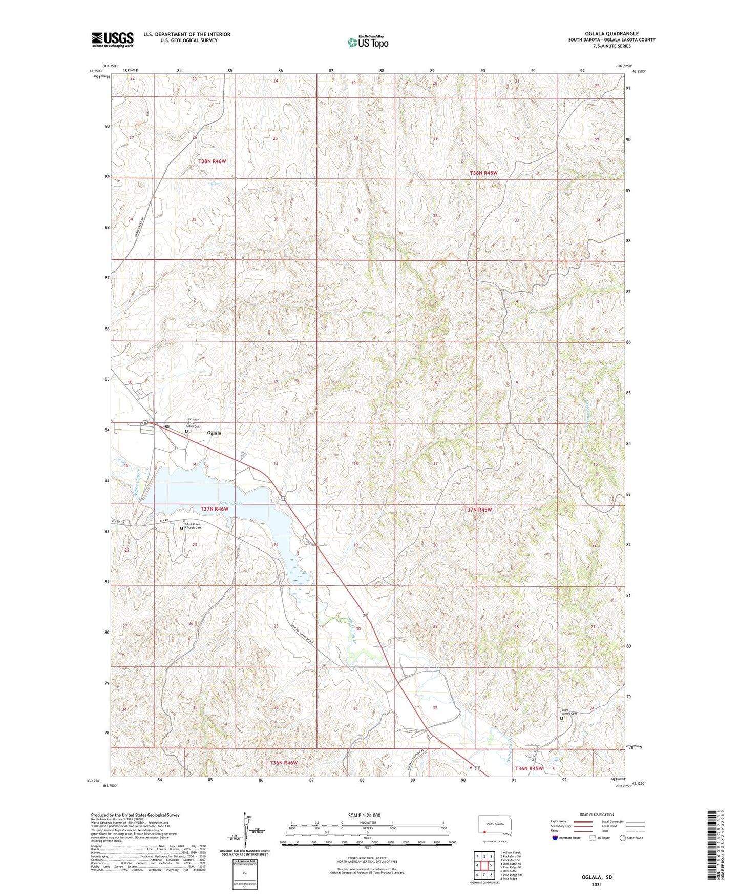
2021 topographic map quadrangle Oglala in the state of South Dakota. Scale: 1:24000. Based on the newly updated USGS 7.5' US Topo map series, this map is in the following counties: Oglala Lakota. The map contains contour data, water features, and other items you are used to seeing on USGS maps, but also has updated roads and other features. This is the next generation of topographic maps. Printed on high-quality waterproof paper with UV fade-resistant inks.
Quads adjacent to this one:
West: Slim Butte NE
Northwest: Willow Creek
North: Rockyford SW
Northeast: Rockyford SE
East: Pine Ridge NE
Southeast: Pine Ridge
South: Pine Ridge SW
Southwest: Slim Butte
This map covers the same area as the classic USGS quad with code o43102b6.
Contains the following named places: Oglala, Oglala Census Designated Place, Oglala Dam, Oglala Lake, Oglala Post Office, Our Lady of the Sioux Cemetery, Our Lady of the Sioux Church, Saint James Cemetery, Saint James Church, Saint Peter Church, Saint Peter Church Cemetery