MyTopo
Opal West SE South Dakota US Topo Map
Couldn't load pickup availability
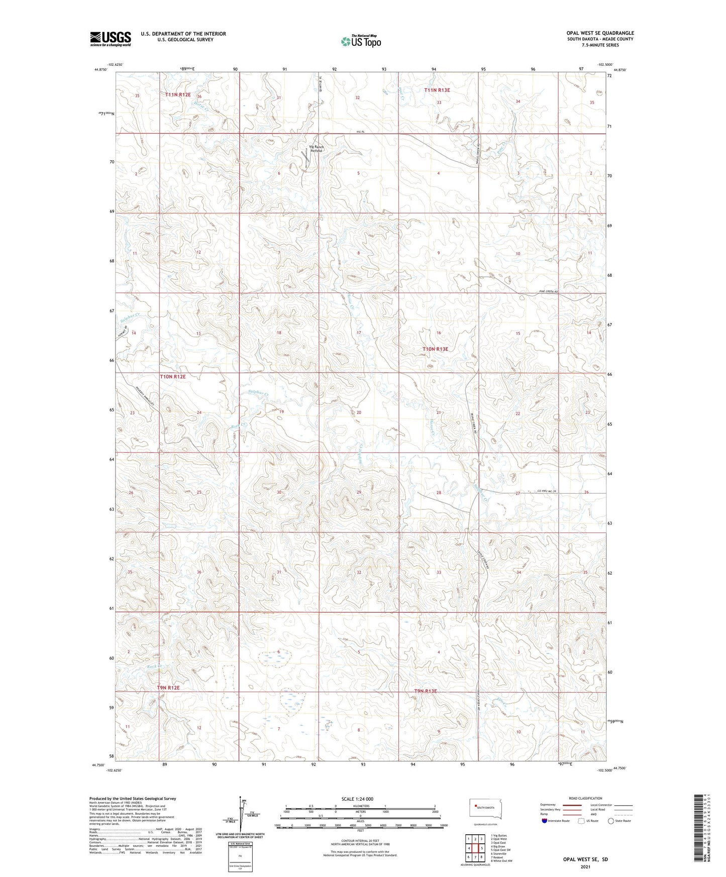
2021 topographic map quadrangle Opal West SE in the state of South Dakota. Scale: 1:24000. Based on the newly updated USGS 7.5' US Topo map series, this map is in the following counties: Meade. The map contains contour data, water features, and other items you are used to seeing on USGS maps, but also has updated roads and other features. This is the next generation of topographic maps. Printed on high-quality waterproof paper with UV fade-resistant inks.
Quads adjacent to this one:
West: Big Draw
North: Opal West
Northeast: Opal East
East: Opal East SW
Southeast: White Owl NW
South: Redowl
Southwest: Stoneville
Contains the following named places: Cecil Vig Dam, Cecil Vig Dam Number 1, Cecil Vig Dam Number 2, Horse Creek, Rock Creek, Tama, Township of Tama, Vig Ranch, Vig Ranch Airfield