MyTopo
Stoneville South Dakota US Topo Map
Couldn't load pickup availability
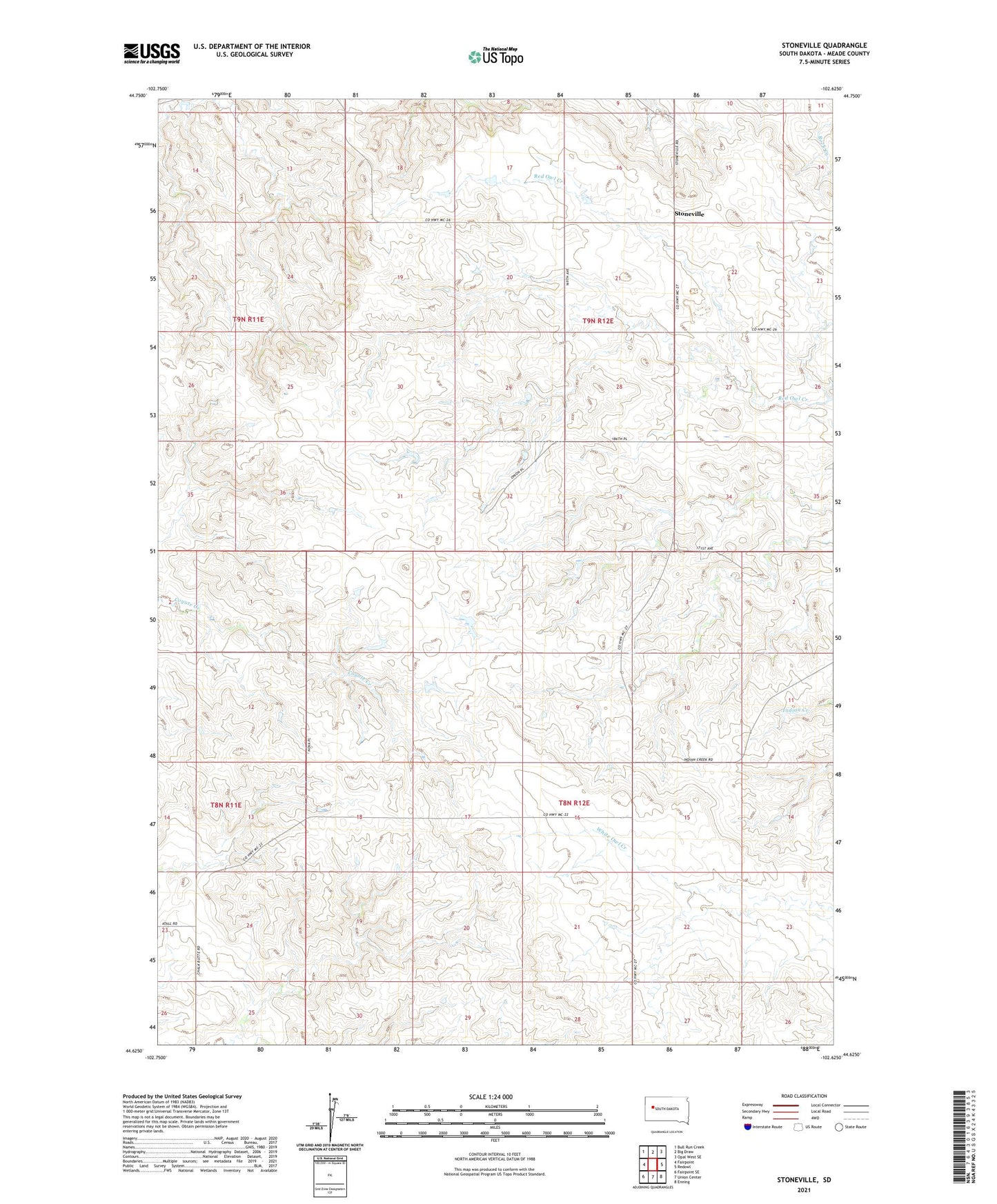
2021 topographic map quadrangle Stoneville in the state of South Dakota. Scale: 1:24000. Based on the newly updated USGS 7.5' US Topo map series, this map is in the following counties: Meade. The map contains contour data, water features, and other items you are used to seeing on USGS maps, but also has updated roads and other features. This is the next generation of topographic maps. Printed on high-quality waterproof paper with UV fade-resistant inks.
Quads adjacent to this one:
West: Fairpoint
Northwest: Bull Run Creek
North: Big Draw
Northeast: Opal West SE
East: Redowl
Southeast: Enning
South: Union Center
Southwest: Fairpoint SE
This map covers the same area as the classic USGS quad with code o44102f6.
Contains the following named places: Bruch Brothers Dam, Burch Brothers Number 2 Dam, Jensen Dam, Stoneville, Township of Upper Red Owl, ZIP Code: 57787