MyTopo
Pierre NE South Dakota US Topo Map
Couldn't load pickup availability
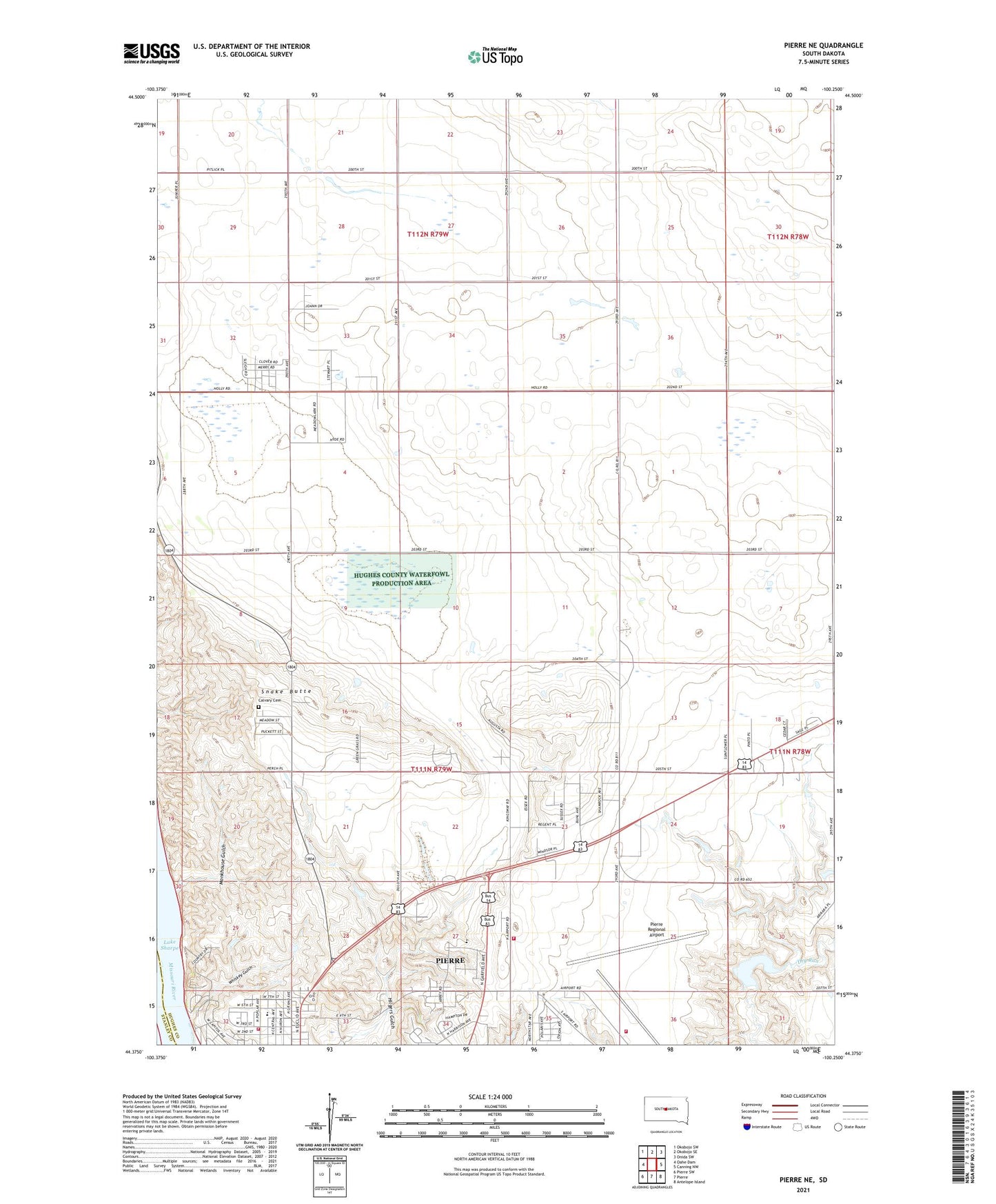
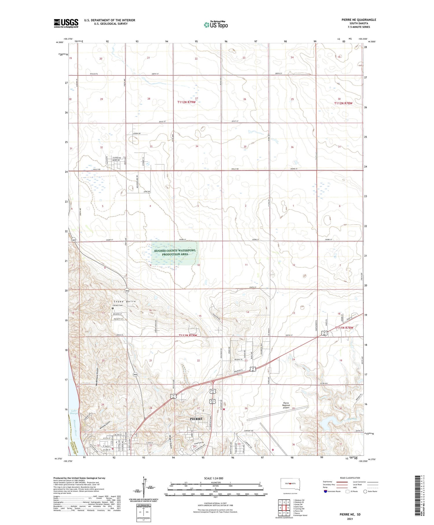
2021 topographic map quadrangle Pierre NE in the state of South Dakota. Scale: 1:24000. Based on the newly updated USGS 7.5' US Topo map series, this map is in the following counties: Hughes, Stanley. The map contains contour data, water features, and other items you are used to seeing on USGS maps, but also has updated roads and other features. This is the next generation of topographic maps. Printed on high-quality waterproof paper with UV fade-resistant inks.
Quads adjacent to this one:
West: Oahe Dam
Northwest: Okobojo SW
North: Okobojo SE
Northeast: Onida SW
East: Canning NW
Southeast: Antelope Island
South: Pierre
Southwest: Pierre SW
Contains the following named places: Arikara Dam, Calvary Cemetery, Hughes County Waterfowl Production Area, Jefferson Elementary School, Lake Arikara, Mentor School, Monkhouse Gulch, Oahe Acres Census Designated Place, Pierre Airport Fire and Rescue, Pierre Army Air Field, Pierre Fire Department Station 3, Pierre Mall, Pierre Regional Airport, Pierre Rural Volunteer Fire Department, Snake Butte, Stanley, Township of Buckeye, Township of Mentor, Whiskey Gulch