MyTopo
Oahe Dam South Dakota US Topo Map
Couldn't load pickup availability
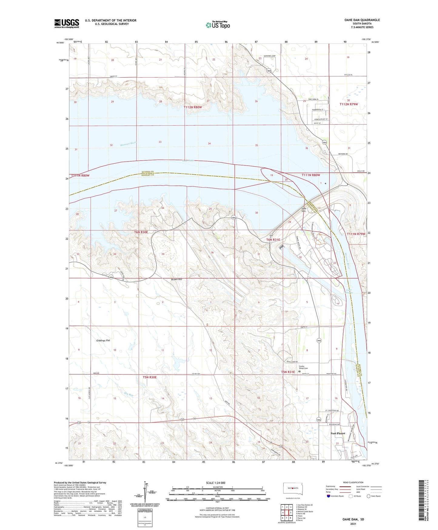
2021 topographic map quadrangle Oahe Dam in the state of South Dakota. Scale: 1:24000. Based on the newly updated USGS 7.5' US Topo map series, this map is in the following counties: Stanley, Hughes. The map contains contour data, water features, and other items you are used to seeing on USGS maps, but also has updated roads and other features. This is the next generation of topographic maps. Printed on high-quality waterproof paper with UV fade-resistant inks.
Quads adjacent to this one:
West: Willow Creek Butte
Northwest: Iron Post Buttes SE
North: Okobojo SW
Northeast: Okobojo SE
East: Pierre NE
Southeast: Pierre
South: Pierre SW
Southwest: Teton
This map covers the same area as the classic USGS quad with code o44100d4.
Contains the following named places: Brown Hill, Buffalo Park, Downstream Recreation Area, East Shore Recreation Area, Fort Galpin, Fort LaFramboise Number Two, Fort Pierre Number One, Fort Pierre Number Two, Fort Primeau, Fort Tecumseh, Giddings Flat, Grandview School, Haskins Number 1 Dam, Lake Oahe, Medicine Butte, Oahe Dam, Overlook Recreation Area, Robinson Brothers Ranch, Sam Alleman Ranch, Scotty Philip Cemetery, Stony Hill, Strand Brothers Farm, Tailrace Recreation Area, Township of Peoria, West Shore Recreation Area, Willow Island, Wood Island