MyTopo
Pukwana South Dakota US Topo Map
Couldn't load pickup availability
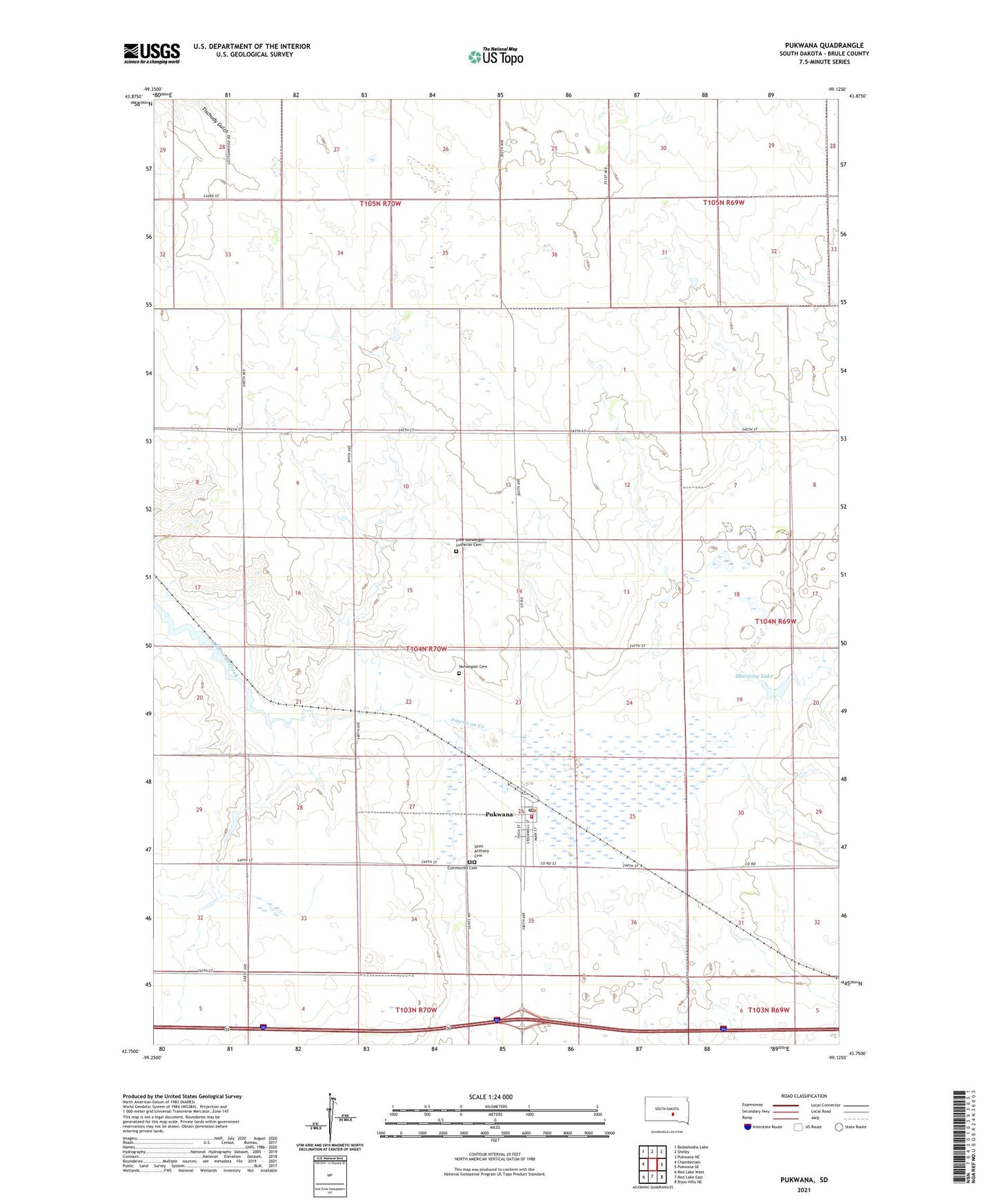
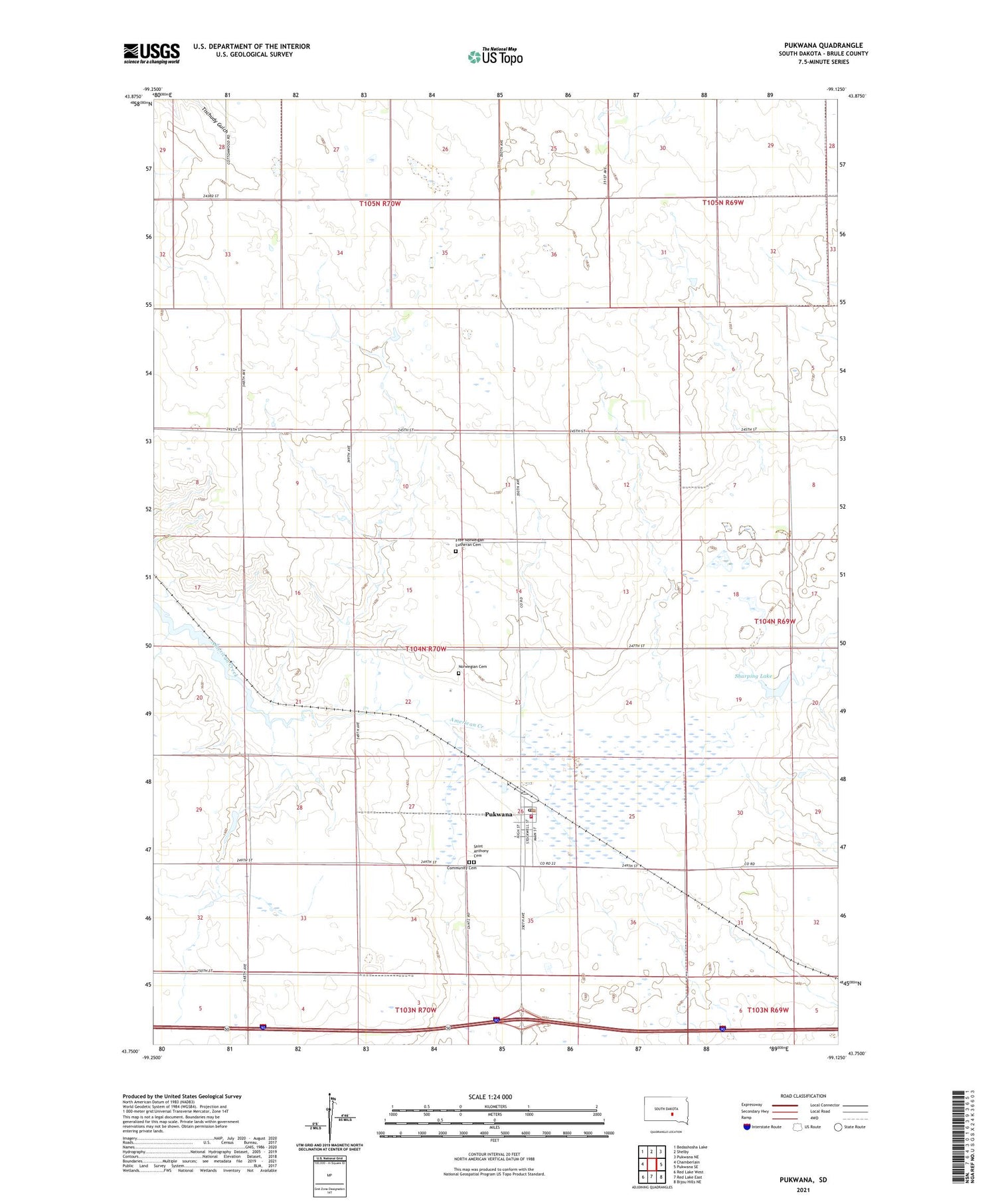
2021 topographic map quadrangle Pukwana in the state of South Dakota. Scale: 1:24000. Based on the newly updated USGS 7.5' US Topo map series, this map is in the following counties: Brule. The map contains contour data, water features, and other items you are used to seeing on USGS maps, but also has updated roads and other features. This is the next generation of topographic maps. Printed on high-quality waterproof paper with UV fade-resistant inks.
Quads adjacent to this one:
West: Chamberlain
Northwest: Bedashosha Lake
North: Shelby
Northeast: Pukwana NE
East: Pukwana SE
Southeast: Bijou Hills NE
South: Red Lake East
Southwest: Red Lake West
Contains the following named places: Busack Dam, Community Cemetery, Conley School, Cottonwood School, Free Norweigan Lutheran Cemetery, Healy Dam, Healy School, Howell School, Jorgensen State Wildlife Refuge, Norwegian Cemetery, Priebe Landing Strip, Pukwana, Pukwana City Hall, Pukwana Post Office, Pukwana Volunteer Fire Department, Saint Anthony Cemetery, Schwiesow School, Sharping Lake, Sharpings Lake Dam, Town of Pukwana, Township of Pukwana, ZIP Code: 57370