MyTopo
Rosebud South Dakota US Topo Map
Couldn't load pickup availability
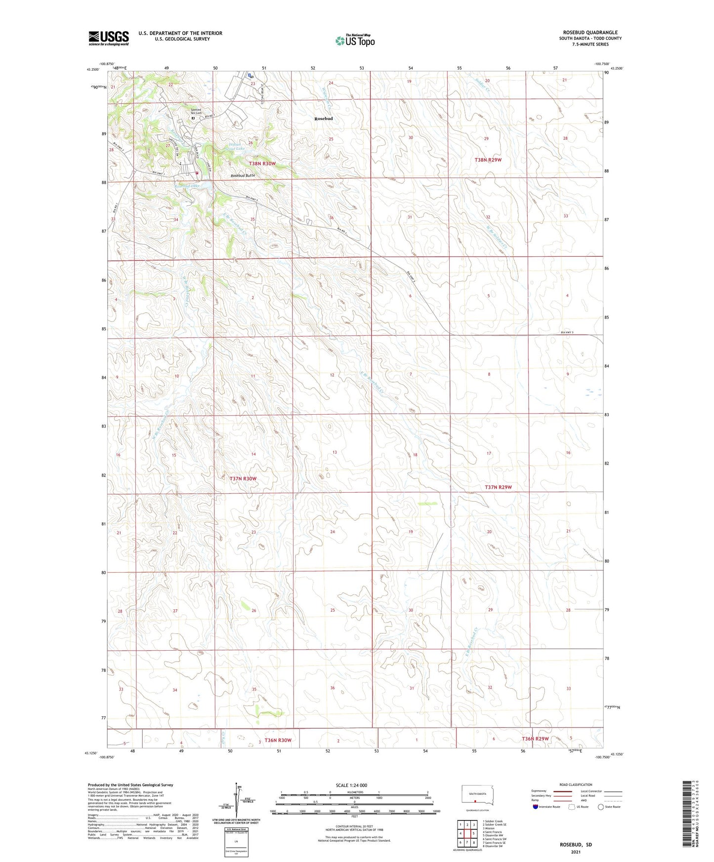
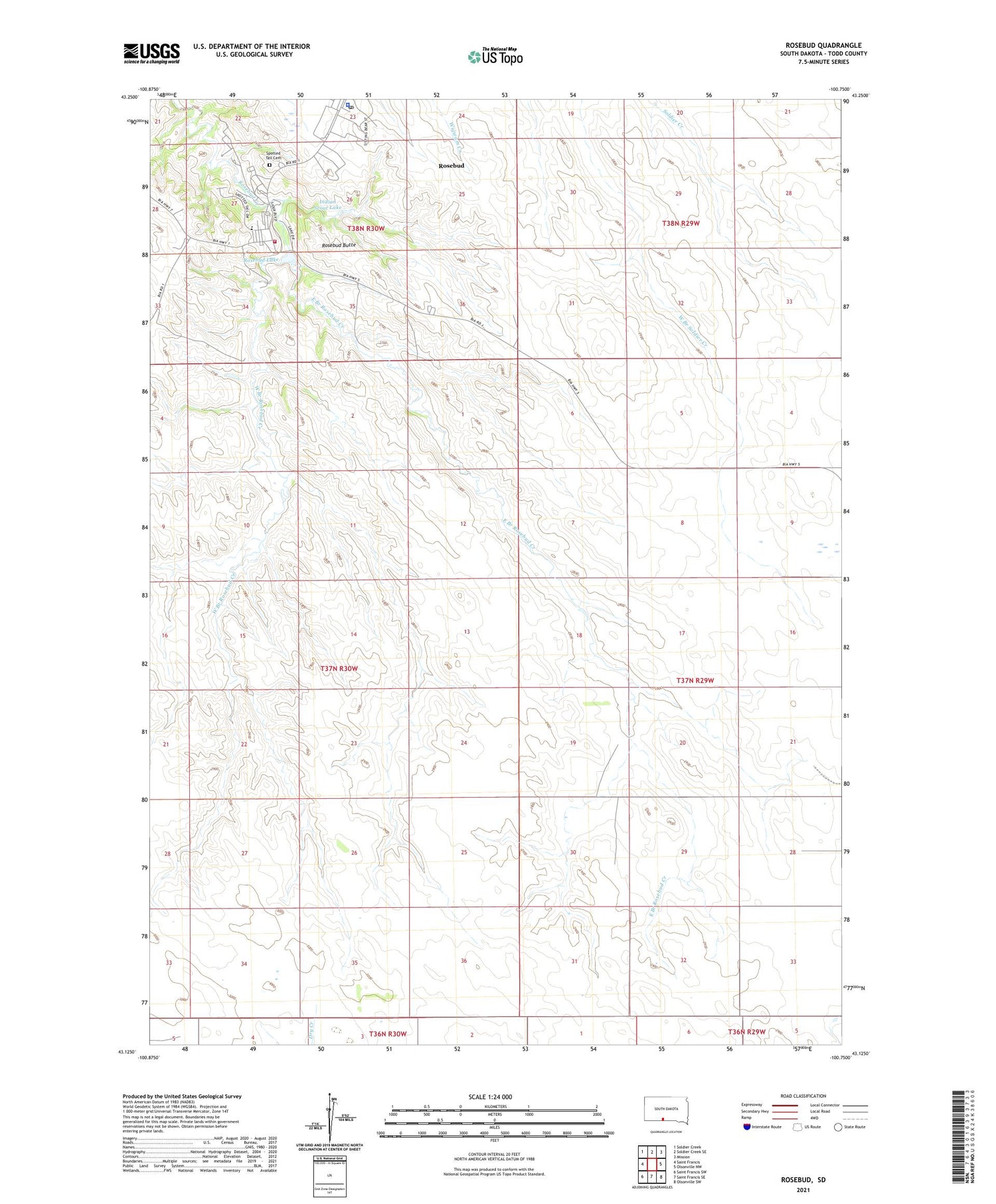
2021 topographic map quadrangle Rosebud in the state of South Dakota. Scale: 1:24000. Based on the newly updated USGS 7.5' US Topo map series, this map is in the following counties: Todd. The map contains contour data, water features, and other items you are used to seeing on USGS maps, but also has updated roads and other features. This is the next generation of topographic maps. Printed on high-quality waterproof paper with UV fade-resistant inks.
Quads adjacent to this one:
West: Saint Francis
Northwest: Soldier Creek
North: Soldier Creek SE
Northeast: Mission
East: Olsonville NW
Southeast: Olsonville SW
South: Saint Francis SE
Southwest: Saint Francis SW
Contains the following named places: East Branch Rosebud Creek, Indian Scout Lake, Rosebud, Rosebud Agency Headquarters, Rosebud Agency Reserve, Rosebud Butte, Rosebud Census Designated Place, Rosebud Church, Rosebud Elementary School, Rosebud Fire Department, Rosebud Lake, Rosebud Post Office, Spotted Tail Cemetery, Tribal Ranch, Two Strike Segment, West Branch Rosebud Creek, ZIP Code: 57570