MyTopo
Soldier Creek SE South Dakota US Topo Map
Couldn't load pickup availability
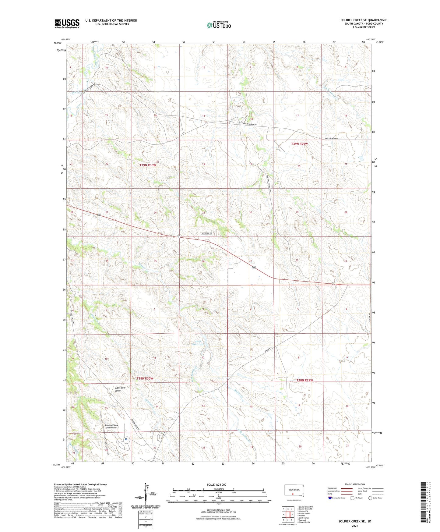
2021 topographic map quadrangle Soldier Creek SE in the state of South Dakota. Scale: 1:24000. Based on the newly updated USGS 7.5' US Topo map series, this map is in the following counties: Todd. The map contains contour data, water features, and other items you are used to seeing on USGS maps, but also has updated roads and other features. This is the next generation of topographic maps. Printed on high-quality waterproof paper with UV fade-resistant inks.
Quads adjacent to this one:
West: Soldier Creek
Northwest: Soldier Creek NW
North: Soldier Creek NE
Northeast: Mission NW
East: Mission
Southeast: Olsonville NW
South: Rosebud
Southwest: Saint Francis
This map covers the same area as the classic USGS quad with code o43100c7.
Contains the following named places: Dry Creek, Ring Thunder Church, Ring Thunder Segment, Rosebud Beef Corral, Rosebud Comprehensive Healthcare Facility, Rosebud Rodeo Grounds, Rosebud Segment, Rosebud Sioux Tribal Airport, Rosebud Sioux Tribe Ambulance Service, Sugar Loaf Butte, Swift Bear Lake, West Branch Soldier Creek