MyTopo
Short Creek South Dakota US Topo Map
Couldn't load pickup availability
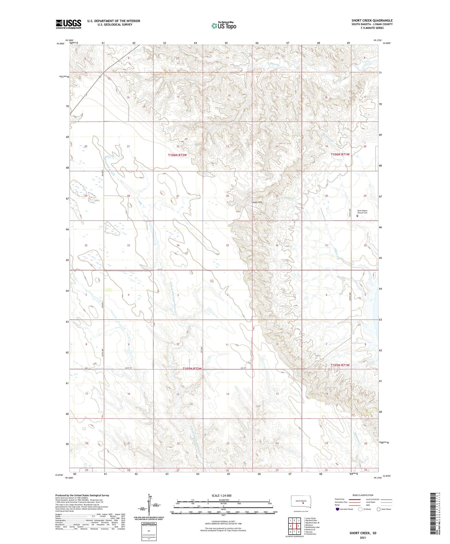
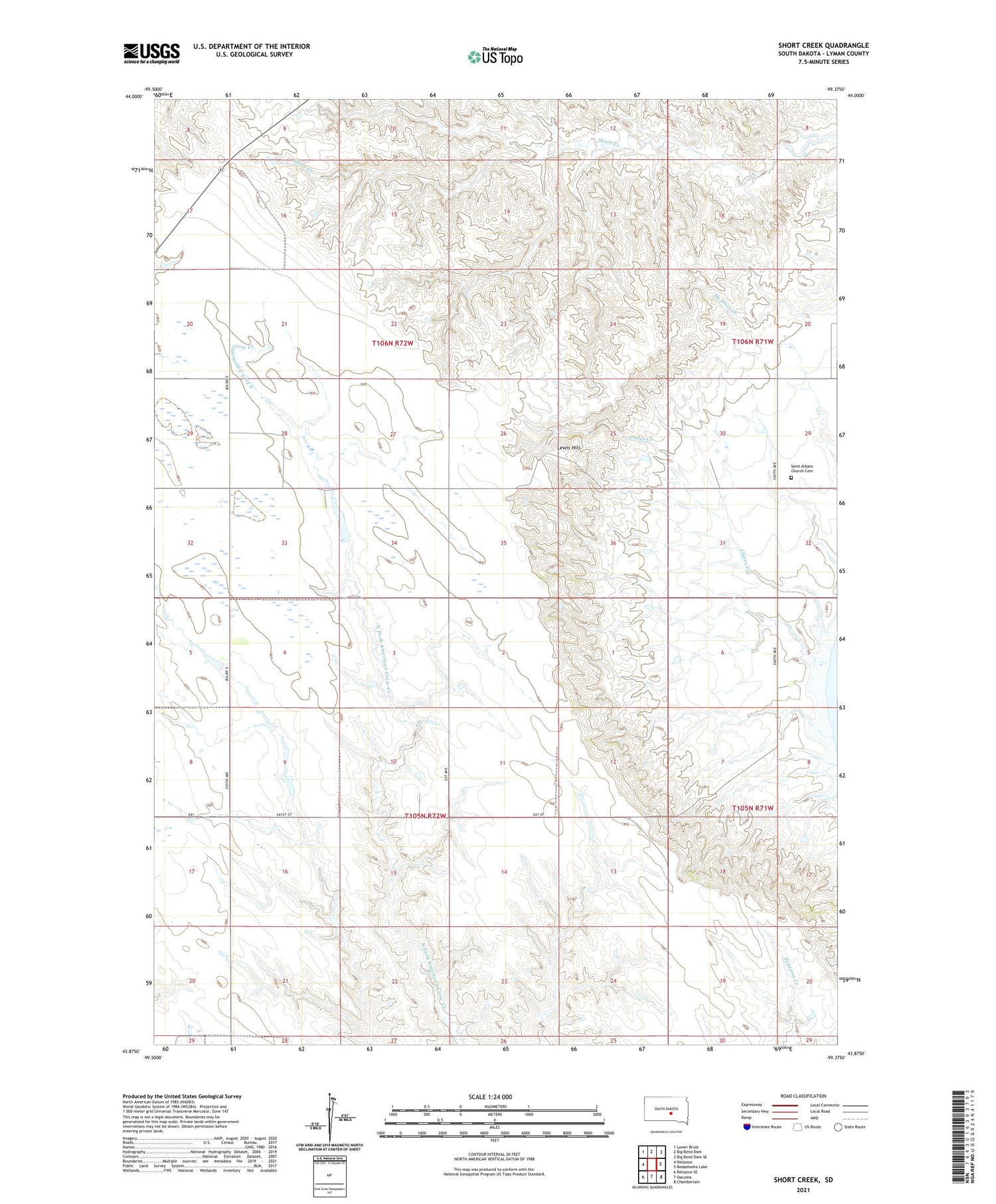
2021 topographic map quadrangle Short Creek in the state of South Dakota. Scale: 1:24000. Based on the newly updated USGS 7.5' US Topo map series, this map is in the following counties: Lyman. The map contains contour data, water features, and other items you are used to seeing on USGS maps, but also has updated roads and other features. This is the next generation of topographic maps. Printed on high-quality waterproof paper with UV fade-resistant inks.
Quads adjacent to this one:
West: Reliance
Northwest: Lower Brule
North: Big Bend Dam
Northeast: Big Bend Dam SE
East: Bedashosha Lake
Southeast: Chamberlain
South: Oacoma
Southwest: Reliance SE
Contains the following named places: Clates Creek, Dale Ellis Dam, Fort Lookout, Hafner Dam, Lewis Hill, Lindley School, Saint Albans Church, Saint Albans Church Cemetery, Straka Brothers Dam, Township of Fairland