MyTopo
Soldier Creek South Dakota US Topo Map
Couldn't load pickup availability
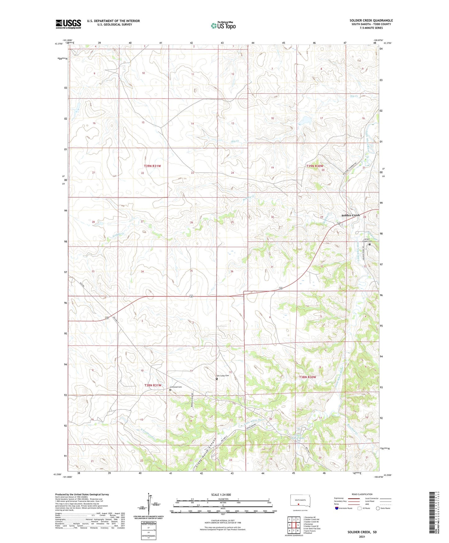
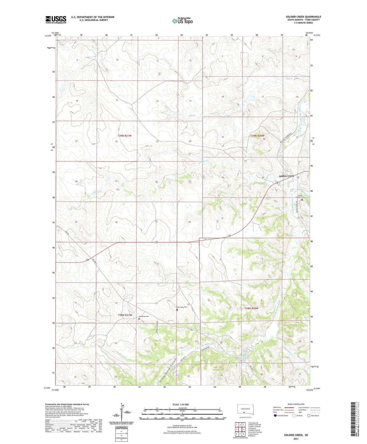
2021 topographic map quadrangle Soldier Creek in the state of South Dakota. Scale: 1:24000. Based on the newly updated USGS 7.5' US Topo map series, this map is in the following counties: Todd. The map contains contour data, water features, and other items you are used to seeing on USGS maps, but also has updated roads and other features. This is the next generation of topographic maps. Printed on high-quality waterproof paper with UV fade-resistant inks.
Quads adjacent to this one:
West: Parmelee
Northwest: Parmelee NE
North: Soldier Creek NW
Northeast: Soldier Creek NE
East: Soldier Creek SE
Southeast: Rosebud
South: Saint Francis
Southwest: Iron Shell Flat East
Contains the following named places: Crazy Horse Canyon, Ghost Hawk Lake, Ghost Hawk Park, Grace Chapel Cemetery, Grace Church, Ironwood Cemetery, North Ironwood Creek, Rosebud Creek, Rosebud Roadside Park, Saint Marks Church, Saint Marys Church, Saint Rose Church, Salt Camp Cemetery, Scabby Creek, Soldier Creek, Soldier Creek Census Designated Place, Soldier Creek Segment, Wigwam Creek