MyTopo
Stephan South Dakota US Topo Map
Couldn't load pickup availability
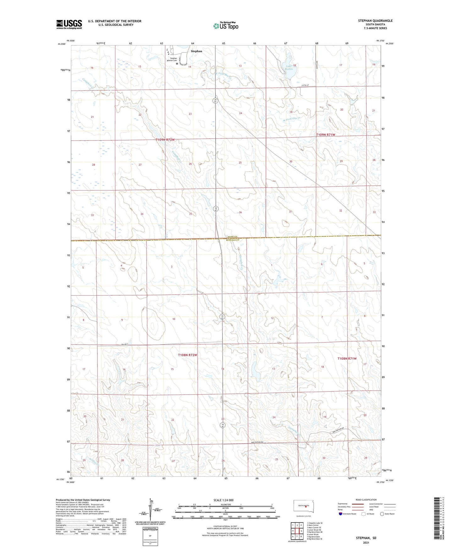
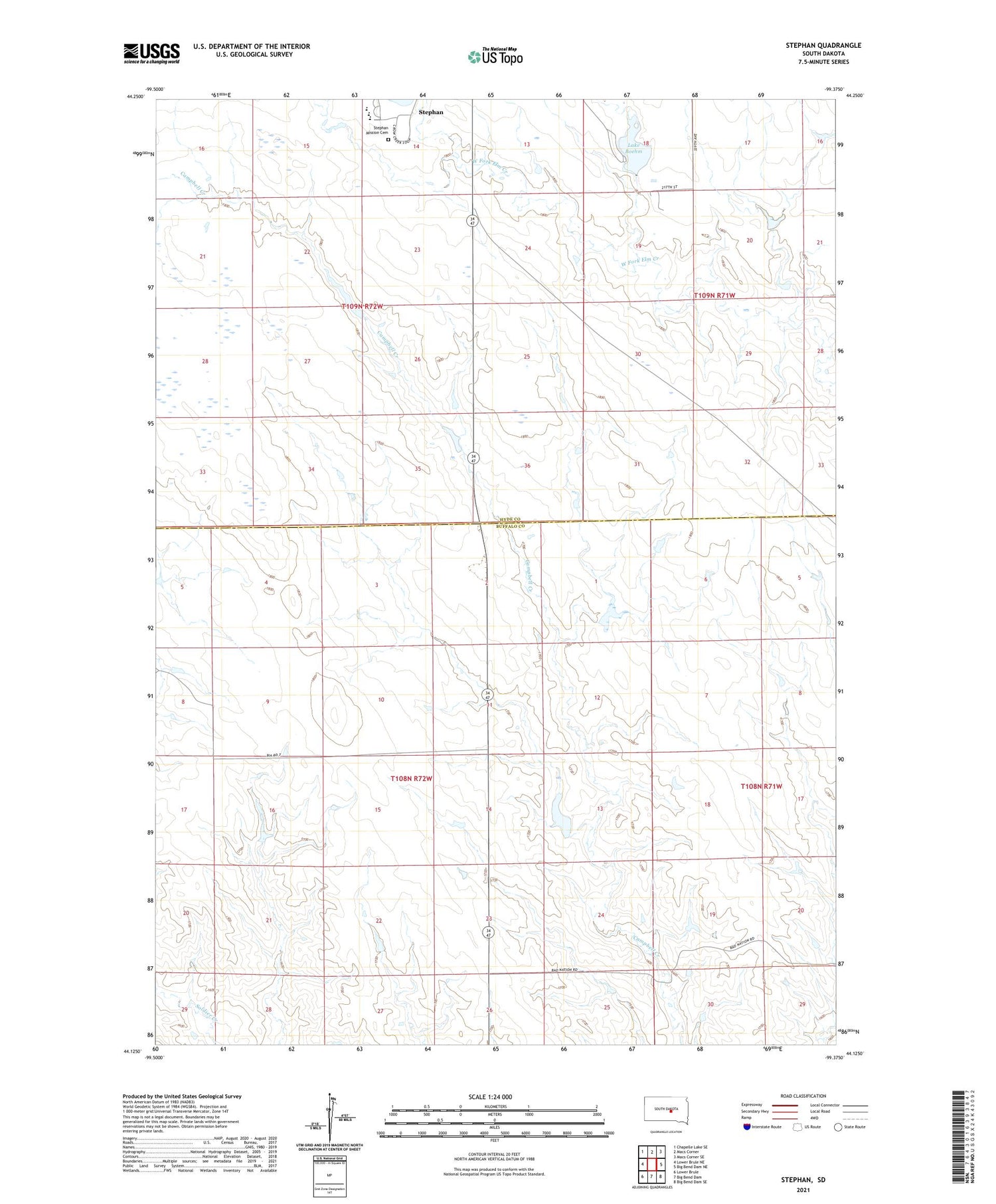
2021 topographic map quadrangle Stephan in the state of South Dakota. Scale: 1:24000. Based on the newly updated USGS 7.5' US Topo map series, this map is in the following counties: Buffalo, Hyde. The map contains contour data, water features, and other items you are used to seeing on USGS maps, but also has updated roads and other features. This is the next generation of topographic maps. Printed on high-quality waterproof paper with UV fade-resistant inks.
Quads adjacent to this one:
West: Lower Brule NE
Northwest: Chapelle Lake SE
North: Macs Corner
Northeast: Macs Corner SE
East: Big Bend Dam NE
Southeast: Big Bend Dam SE
South: Big Bend Dam
Southwest: Lower Brule
Contains the following named places: Crow Creek Reservation, Fort Thompson District, Lake Boehm, Stephan, Stephan Census Designated Place, Stephan Mission Cemetery, Stephan School, Stephen Mission Dam, T Jennings Dam, Unorganized Territory of Crow Creek