MyTopo
Thunder Hawk SW South Dakota US Topo Map
Couldn't load pickup availability
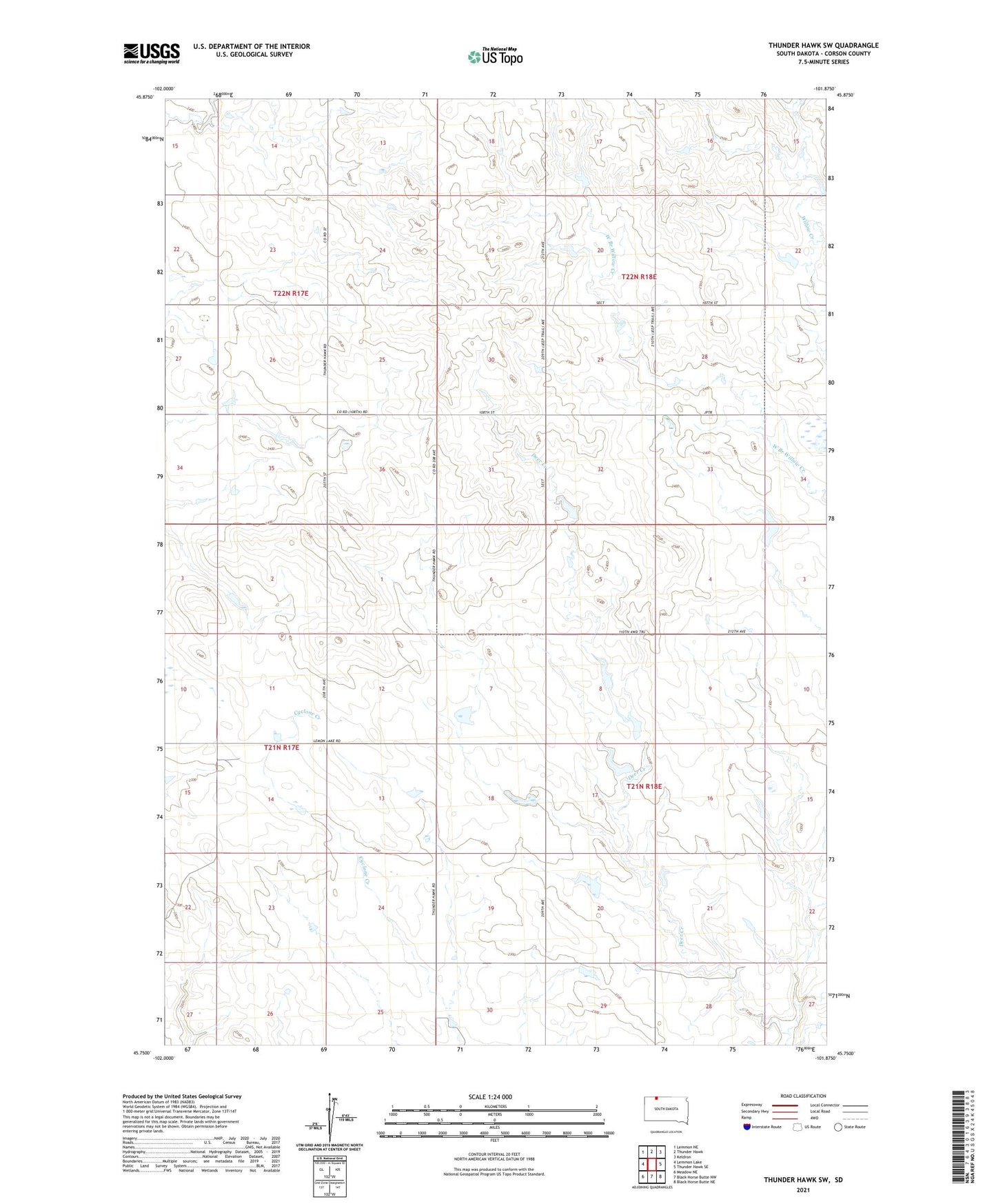
2021 topographic map quadrangle Thunder Hawk SW in the state of South Dakota. Scale: 1:24000. Based on the newly updated USGS 7.5' US Topo map series, this map is in the following counties: Corson. The map contains contour data, water features, and other items you are used to seeing on USGS maps, but also has updated roads and other features. This is the next generation of topographic maps. Printed on high-quality waterproof paper with UV fade-resistant inks.
Quads adjacent to this one:
West: Lemmon Lake
Northwest: Lemmon NE
North: Thunder Hawk
Northeast: Keldron
East: Thunder Hawk SE
Southeast: Black Horse Butte NE
South: Black Horse Butte NW
Southwest: Meadow NE
Contains the following named places: Nelder Ebert Number 1 Dam, Nelder Ebert Number 2 Dam, Nelder Ebert Number 3 Dam, Paris, Richard Waddell Dam, Township of Rolling Green, ZIP Code: 57634