MyTopo
Trent South Dakota US Topo Map
Couldn't load pickup availability
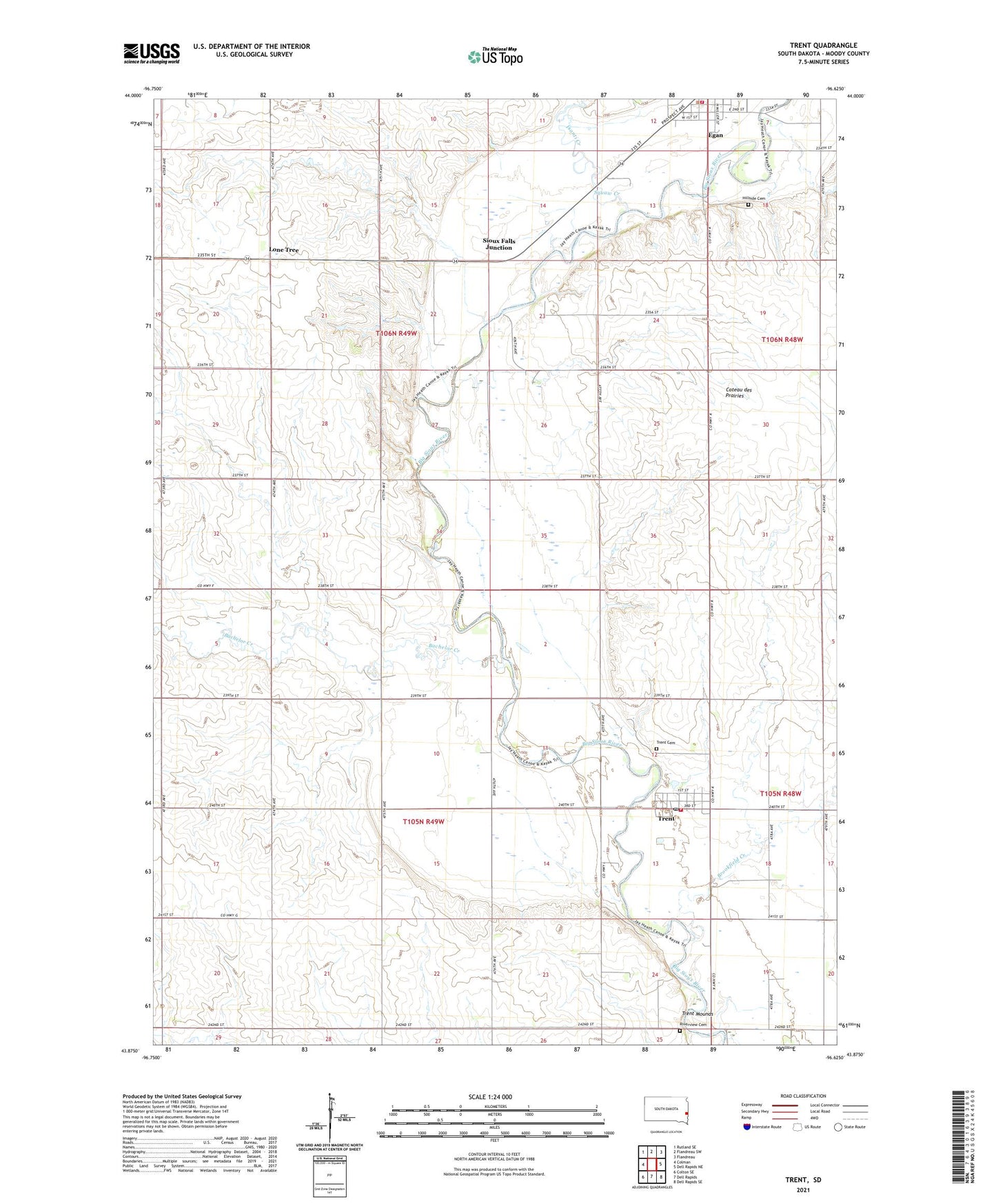
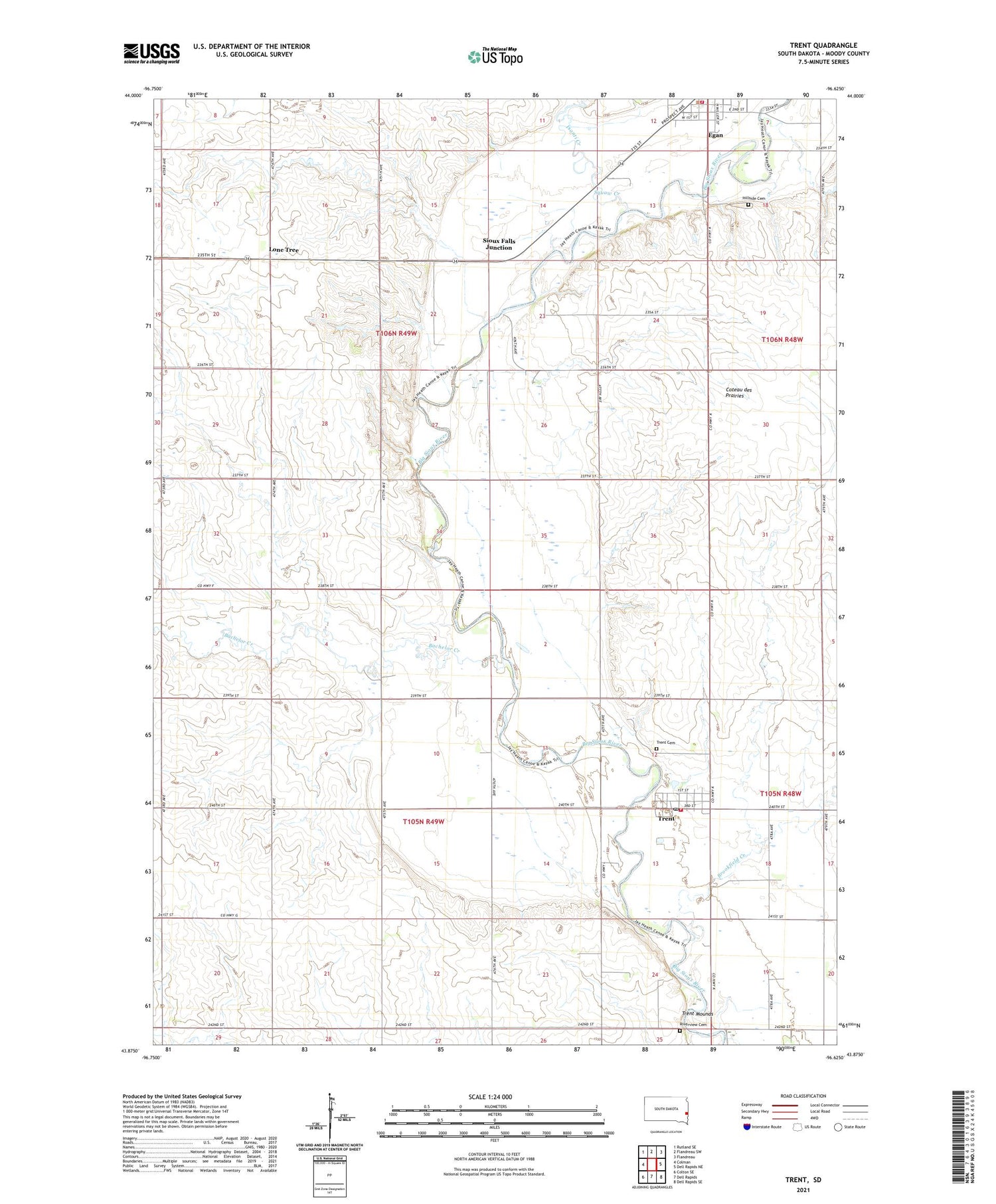
2021 topographic map quadrangle Trent in the state of South Dakota. Scale: 1:24000. Based on the newly updated USGS 7.5' US Topo map series, this map is in the following counties: Moody. The map contains contour data, water features, and other items you are used to seeing on USGS maps, but also has updated roads and other features. This is the next generation of topographic maps. Printed on high-quality waterproof paper with UV fade-resistant inks.
Quads adjacent to this one:
West: Colman
Northwest: Rutland SE
North: Flandreau SW
Northeast: Flandreau
East: Dell Rapids NE
Southeast: Dell Rapids SE
South: Dell Rapids
Southwest: Colton SE
Contains the following named places: Bachelor Creek, Brookfield, Brookfield Creek, Egan, Egan City Hall, Egan Fire Department, Gale Ridge School, Hillsdale, Hillside Cemetery, Isanti Creek, Lone Tree, Riverview Cemetery, Sioux Falls Junction, Town of Trent, Township of Egan, Township of Enterprise, Trent, Trent Cemetery, Trent Fire Department, Trent Mounds, Trent Post Office, Trent Town Office, ZIP Code: 57024