MyTopo
Tuthill South Dakota US Topo Map
Couldn't load pickup availability
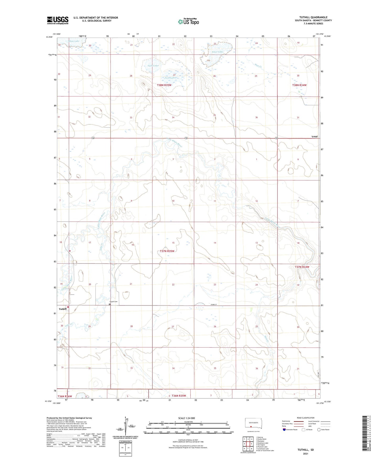
2021 topographic map quadrangle Tuthill in the state of South Dakota. Scale: 1:24000. Based on the newly updated USGS 7.5' US Topo map series, this map is in the following counties: Bennett. The map contains contour data, water features, and other items you are used to seeing on USGS maps, but also has updated roads and other features. This is the next generation of topographic maps. Printed on high-quality waterproof paper with UV fade-resistant inks.
Quads adjacent to this one:
West: Deadmans Lake
Northwest: Patricia
North: Brushy Butte
Northeast: Blackpipe
East: Harrington
Southeast: East of Scotchman Lake
South: Scotchman Lake
Southwest: Phantom Lake
This map covers the same area as the classic USGS quad with code k43101b3.
Contains the following named places: Lake Creek, Peck Creek, Silver Lake, Tuthill, Tuthill Cemetery, Tuthill Volunteer Fire Department, Twin Lakes, Unorganized Territory of East Bennett, Vetal, Vetal Volunteer Fire Department