MyTopo
Twomile Lake South Dakota US Topo Map
Couldn't load pickup availability
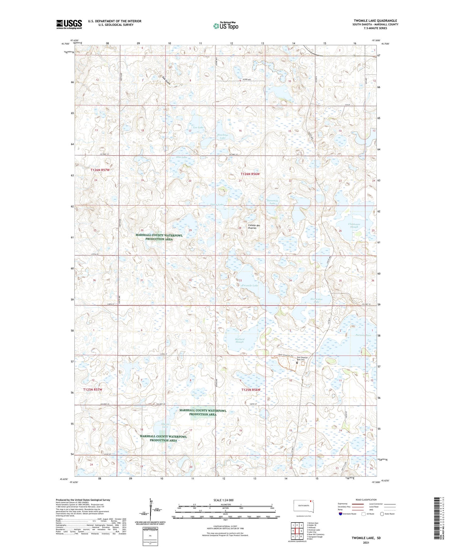
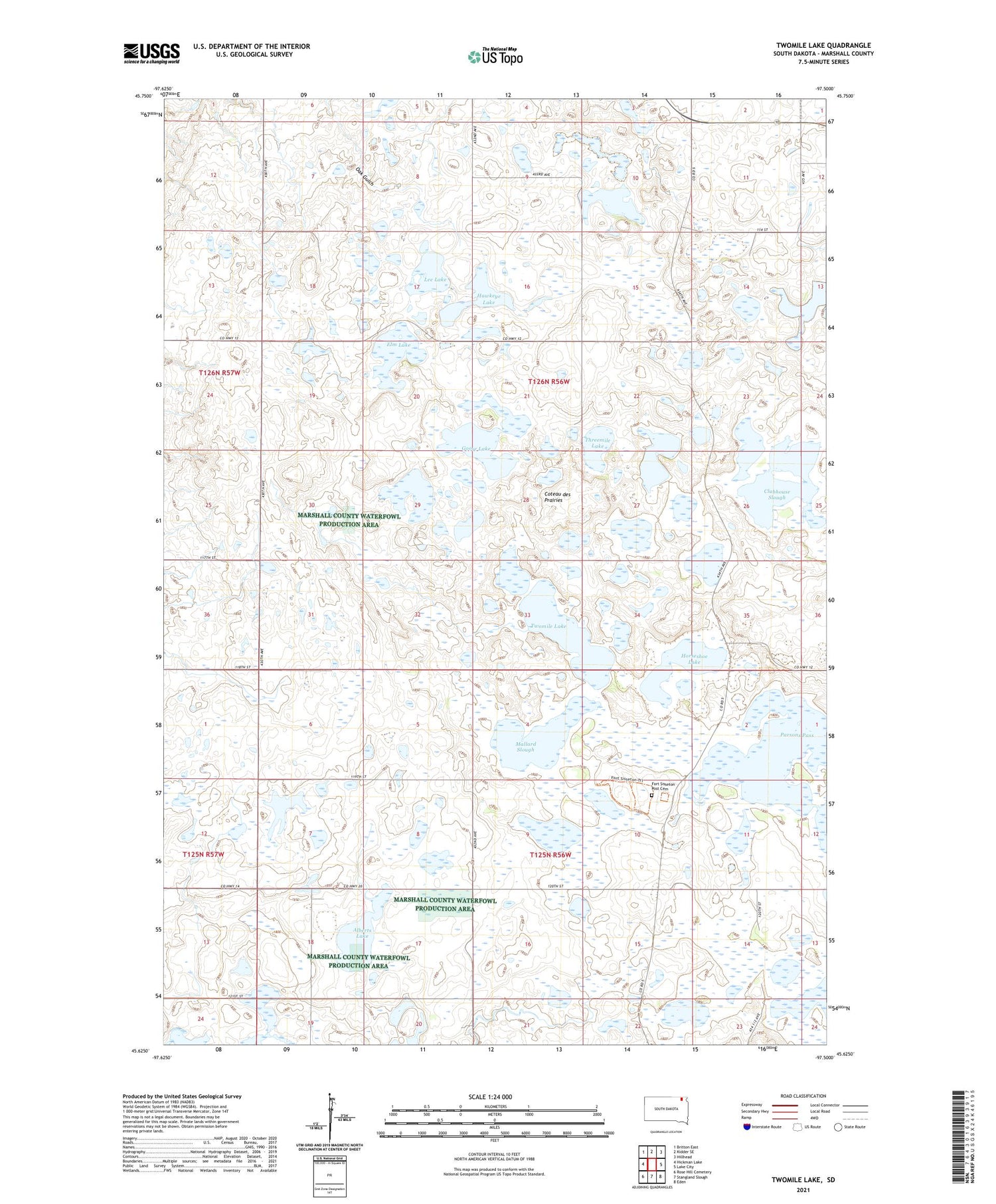
2021 topographic map quadrangle Twomile Lake in the state of South Dakota. Scale: 1:24000. Based on the newly updated USGS 7.5' US Topo map series, this map is in the following counties: Marshall. The map contains contour data, water features, and other items you are used to seeing on USGS maps, but also has updated roads and other features. This is the next generation of topographic maps. Printed on high-quality waterproof paper with UV fade-resistant inks.
Quads adjacent to this one:
West: Hickman Lake
Northwest: Britton East
North: Kidder SE
Northeast: Hillhead
East: Lake City
Southeast: Eden
South: Stangland Slough
Southwest: Rose Hill Cemetery
Contains the following named places: Alberts Lake, Clubhouse Slough, Elm Lake, Fort Sisseton Post Cemetery, Fort Sisseton State Park, Goose Lake, Hawkeye Lake, Horseshoe Lake, Kettle Lake, Lee Lake, Mallard Slough, Old Fort Sisseton, Rose Hill Church, Threemile Lake, Township of Fort, Township of Hamilton, Twomile Lake