
MyTopo
Watertown SE South Dakota US Topo Map
Couldn't load pickup availability
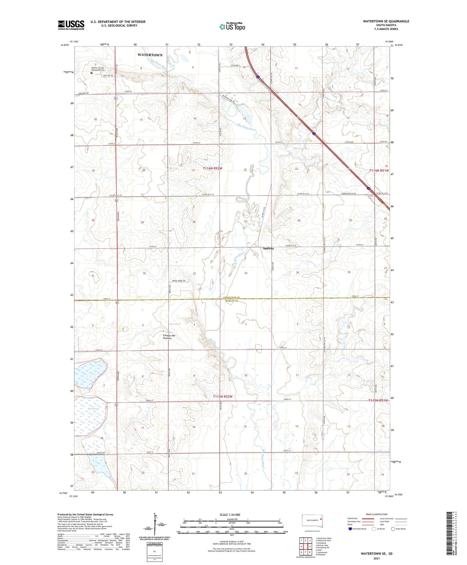
2021 topographic map quadrangle Watertown SE in the state of South Dakota. Scale: 1:24000. Based on the newly updated USGS 7.5' US Topo map series, this map is in the following counties: Codington, Hamlin. The map contains contour data, water features, and other items you are used to seeing on USGS maps, but also has updated roads and other features. This is the next generation of topographic maps. Printed on high-quality waterproof paper with UV fade-resistant inks.
Quads adjacent to this one:
West: Pelican Lake
Northwest: Watertown West
North: Watertown East
Northeast: Kranzburg
East: Kranzburg SW
Southeast: Dempster
South: Castlewood
Southwest: Hayti
Contains the following named places: Appleby, Five Ponds, German Lutheran Church, Harmony Hill High School, KIXX-FM (Watertown), KWAT-AM (Watertown), Mother of God Monastery Cemetery, Township of Castlewood, Township of Sheridan, Willow Creek


