MyTopo
Westport South Dakota US Topo Map
Couldn't load pickup availability
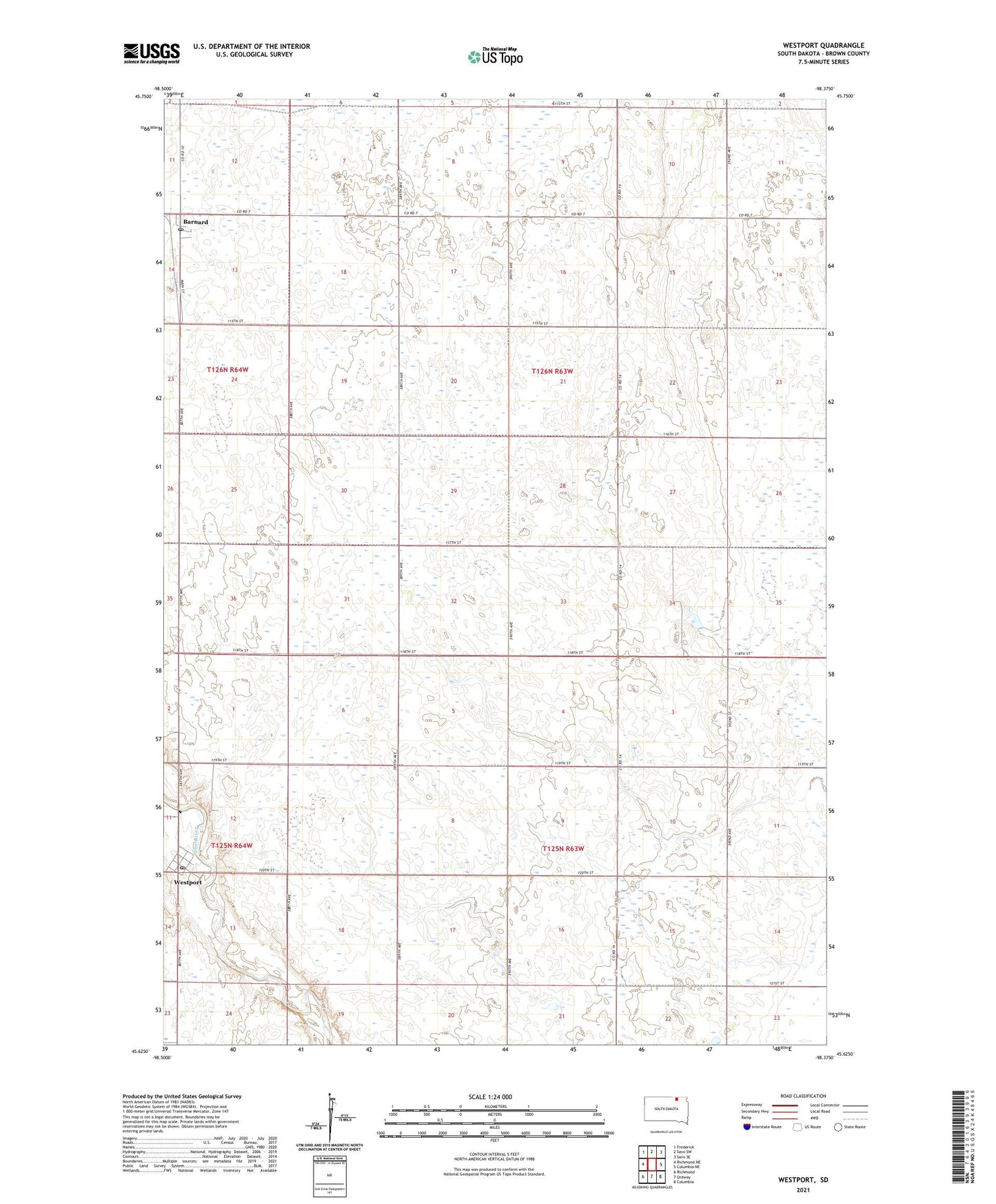
2021 topographic map quadrangle Westport in the state of South Dakota. Scale: 1:24000. Based on the newly updated USGS 7.5' US Topo map series, this map is in the following counties: Brown. The map contains contour data, water features, and other items you are used to seeing on USGS maps, but also has updated roads and other features. This is the next generation of topographic maps. Printed on high-quality waterproof paper with UV fade-resistant inks.
Quads adjacent to this one:
West: Richmond NE
Northwest: Frederick
North: Savo SW
Northeast: Savo SE
East: Columbia NE
Southeast: Columbia
South: Ordway
Southwest: Richmond
Contains the following named places: Barnard, Barnard Post Office, Kelly School, Town of Westport, Township of Brainard, Township of Garland, Township of Westport, Westport, Westport Post Office, ZIP Code: 57426