MyTopo
Wewela South Dakota US Topo Map
Couldn't load pickup availability
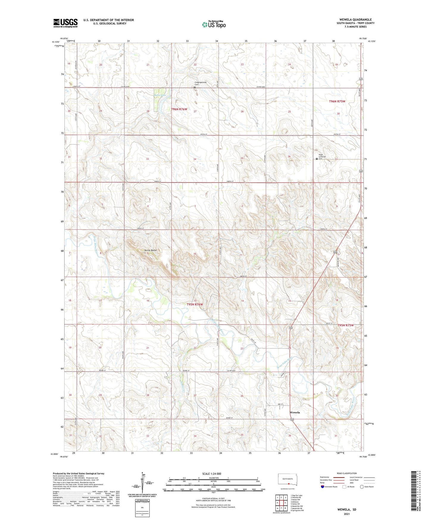
2021 topographic map quadrangle Wewela in the state of South Dakota. Scale: 1:24000. Based on the newly updated USGS 7.5' US Topo map series, this map is in the following counties: Tripp. The map contains contour data, water features, and other items you are used to seeing on USGS maps, but also has updated roads and other features. This is the next generation of topographic maps. Printed on high-quality waterproof paper with UV fade-resistant inks.
Quads adjacent to this one:
West: Millboro
Northwest: Dog Ear Lake
North: Wewela NE
Northeast: Dallas NW
East: Dallas SW
Southeast: Springview NW
South: Meadville NE
Southwest: Meadville NW
This map covers the same area as the classic USGS quad with code o43099a7.
Contains the following named places: Congregational Cemetery, Hope Lutheran Cemetery, Rahn Dam State Game Production Area, Rahn Lake, Rahn Lake Dam, Rahn Lake State Recreation Area, Saint Pauls Church, Timber Creek, Township of Rames, Turtle Butte, Wewela