
MyTopo
Fosterville Tennessee US Topo Map
Couldn't load pickup availability
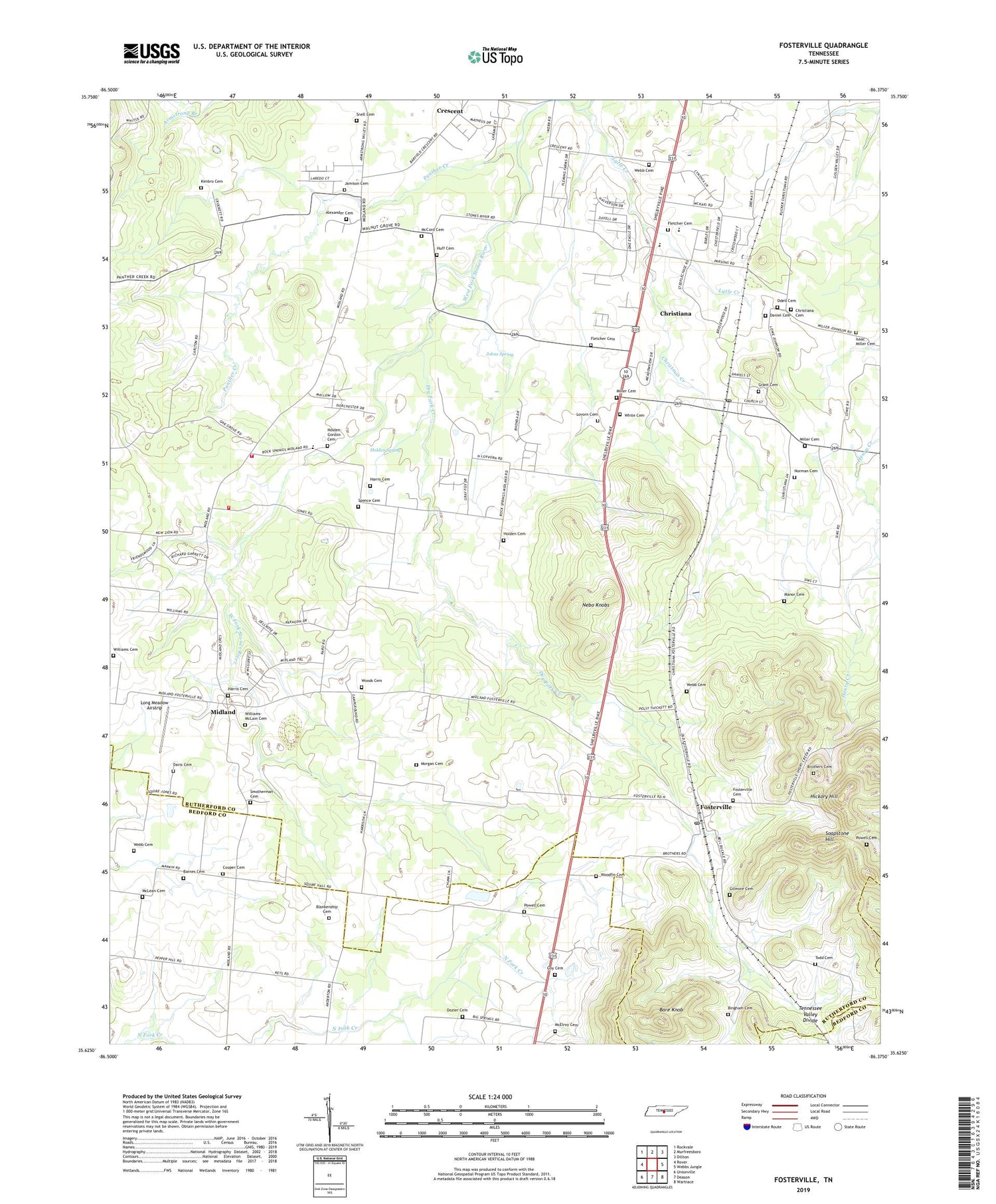
2019 topographic map quadrangle Fosterville in the state of Tennessee. Scale: 1:24000. Based on the newly updated USGS 7.5' US Topo map series, this map is in the following counties: Rutherford, Bedford. The map contains contour data, water features, and other items you are used to seeing on USGS maps, but also has updated roads and other features. This is the next generation of topographic maps. Printed on high-quality waterproof paper with UV fade-resistant inks.
Quads adjacent to this one:
West: Rover
Northwest: Rockvale
North: Murfreesboro
Northeast: Dillton
East: Webbs Jungle
Southeast: Wartrace
South: Deason
Southwest: Unionville
Contains the following named places: Alexander Cemetery, Bare Knob, Barnes Cemetery, Bingham Cemetery, Blankenship Cemetery, Blankenship United Methodist Church, Brandon Chapel, Brandon View Baptist Church, Brothers Cemetery, Camp Ground Church, Cedar Grove Church, Christiana, Christiana Census Designated Place, Christiana Church of Christ, Christiana Division, Christiana Elementary School, Christiana High School, Christiana Middle School, Christiana Post Office, Christiana Presbyterian Church, Christiana School, Christmas Creek, Colonial Estates, Cooper Cemetery, Crescent Church, Daniel Cemetery, Davis Cemetery, Dozier Cemetery, Dry Fork Creek, Elils Ranch Acres, First Baptist Church, Fletcher Cemetery, Fosterville, Fosterville Baptist Church, Fosterville Cemetery, Fosterville Church of Christ, Fosterville Fire Hall, Fosterville Midland Fire Department, Fosterville Post Office, Fosterville Presbyterian Church, Fosterville School, Gilmore Cemetery, Grant Cemetery, Green Meadow Church, Guy Cemetery, Guy Gap School, Harris Cemetery, Hickory Hill, Holden Cemetery, Holden Spring, Holden-Gordon Cemetery, Huff Cemetery, Isaac Miller Cemetery, Jamison Cemetery, Johns Spring, Johnson Road Cemetery, Keyes Chapel School, Kimbro Cemetery, Long Meadow Airstrip, Lovorn Cemetery, Lytle Creek, Manor Cemetery, McCord Cemetery, McElroy Cemetery, McLean Cemetery, Midland, Midland Baptist Church, Midland School, Miller Cemetery, Morgan Cemetery, Mount Zion Baptist Church, Nebo Knobs, New Zion Church, Norman Cemetery, Odell Cemetery, Old Fosterville, Panther Creek, Powell Cemetery, R T Estates, Rock Spring Church, Rock Springs, Rockvale Volunteer Fire Department Station 2, Smotherman Cemetery, Snell Cemetery, Soapstone Hill, Spence Cemetery, Steeplechase Meadows, Todd Cemetery, Walnut Grove Church, Webb Cemetery, White Cemetery, Williams Cemetery, Williams-McLain Cemetery, Woodfin Cemetery, Woods Cemetery, ZIP Code: 37020


