MyTopo
Jones Knob Tennessee US Topo Map
Couldn't load pickup availability
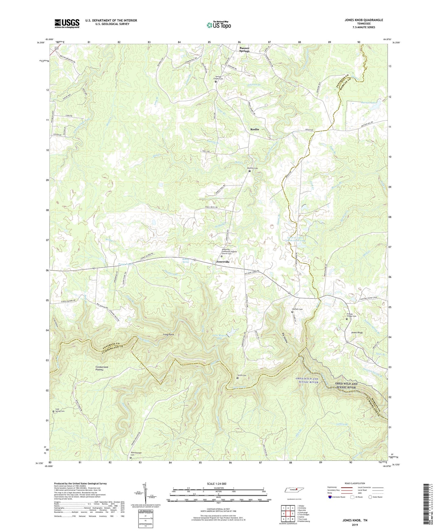
2022 topographic map quadrangle Jones Knob in the state of Tennessee. Scale: 1:24000. Based on the newly updated USGS 7.5' US Topo map series, this map is in the following counties: Fentress, Cumberland, Morgan. The map contains contour data, water features, and other items you are used to seeing on USGS maps, but also has updated roads and other features. This is the next generation of topographic maps. Printed on high-quality waterproof paper with UV fade-resistant inks.
Quads adjacent to this one:
West: Clarkrange
Northwest: Wilder
North: Grimsley
Northeast: Burrville
East: Twin Bridges
Southeast: Hebbertsburg
South: Fox Creek
Southwest: Isoline
This map covers the same area as the classic USGS quad with code o36084b8.
Contains the following named places: Adams Branch, Allen Branch, Ashburn Ford, Atkinson Branch, Banner Springs, Beatty School, Beetree Branch, Bice Creek, Big Branch, Big Hollow, Boiling Spring, Bridge Creek, Burnett Dam, Burnett Lake, Carter Branch, Clarkrange Division, Cold Spring Cemetery, Cold Spring School, Cold Springs, Cross Hollow, D O Beaty Church, Durham Cemetery, Friends Chapel, Friends Chapel Cemetery, Gene Rogers Dam, Gene Rogers Lake, Glade Branch, Hall Ford, Houston Spring Branch, Howe School, Jones Ford, Jones Knob, Jones School, Jonesville, Jonesville Community Baptist Church Cemetery, Land of Lakes Catfish Farm Dam, Land of Lakes Catfish Farm Lake, Licklog Branch, Long Point, Mill Creek, Myatt Creek, Palm Branch, Peggy Pond, Peter Branch, Pine Creek, Ramsey Branch, Roslin, Roslin School, S Thomas Burnett Dam Number Two, S Thomas Burnett Lake Number Two, Shepherd Branch, Smith Cemetery, Snakeden Creek, Springs Chapel, Springs Chapel Cemetery, Turner Ford, Wattenbarger Cemetery, Westfelt Cemetery


