MyTopo
Long Branch Tennessee US Topo Map
Couldn't load pickup availability
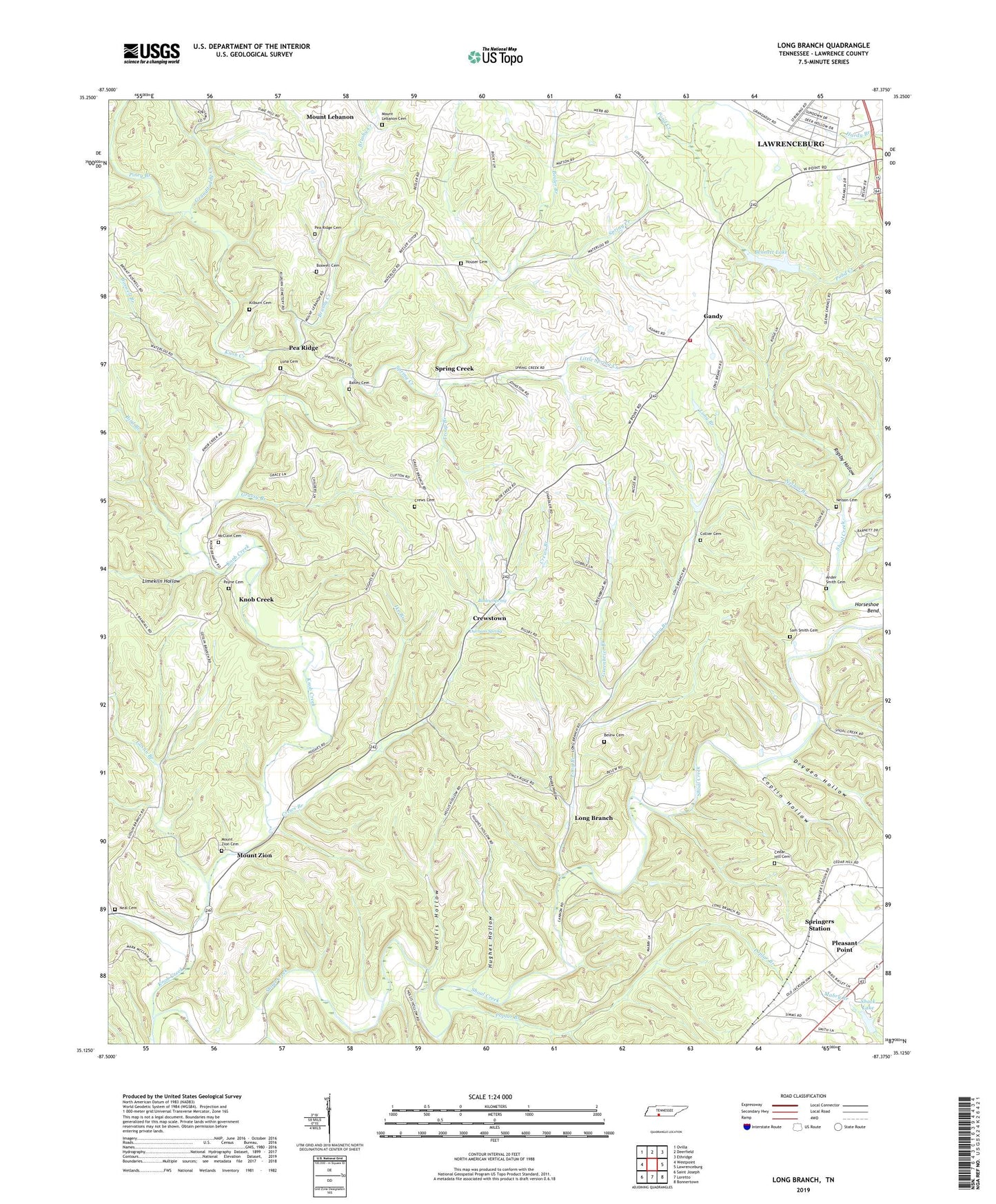
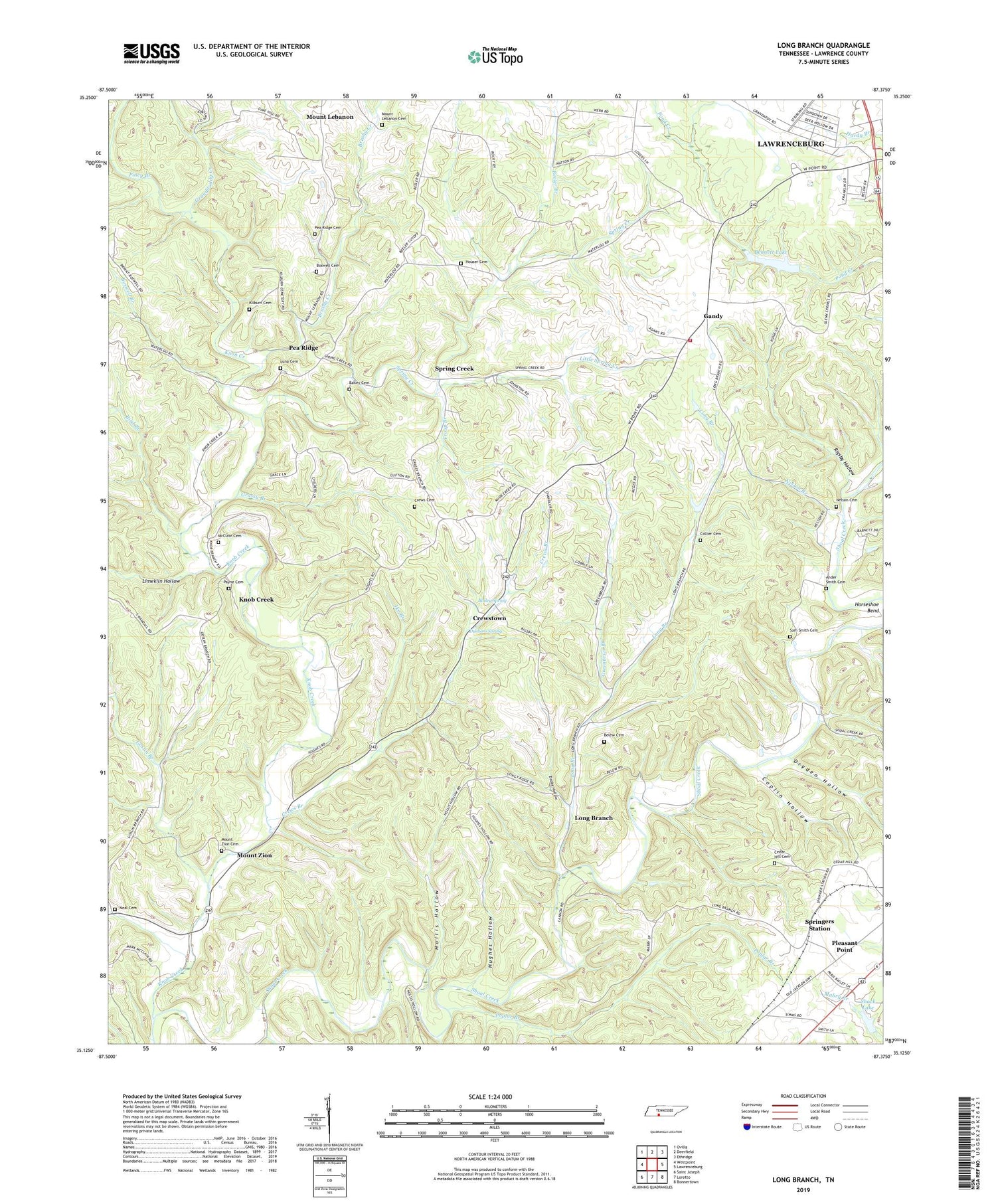
2019 topographic map quadrangle Long Branch in the state of Tennessee. Scale: 1:24000. Based on the newly updated USGS 7.5' US Topo map series, this map is in the following counties: Lawrence. The map contains contour data, water features, and other items you are used to seeing on USGS maps, but also has updated roads and other features. This is the next generation of topographic maps. Printed on high-quality waterproof paper with UV fade-resistant inks.
Quads adjacent to this one:
West: Westpoint
Northwest: Ovilla
North: Deerfield
Northeast: Ethridge
East: Lawrenceburg
Southeast: Bonnertown
South: Loretto
Southwest: Saint Joseph
Contains the following named places: Ander Smith Cemetery, Bailey Cemetery, Bailey Spring, Bealer Branch, Beech Grove Church, Belew Cemetery, Bennett Lake, Bennett Lake Dam, Bird Branch, Boswell Branch, Boswell Cemetery, Brushy Creek, Cedar Hill Church, Cedar Hill Church Cemetery, Christian Home Orphanage, Collier Cemetery, Commissioner District 5, Coplin Hollow, Crews Branch, Crews Cemetery, Crewstown, Crewstown Church of Christ, Crockett School, David Corckett Elementary School, Drake Hollow, Dryden Hollow, Durham Spring, Eagle School, Gandy, Gandy Volunteer Fire Department, Goslin Branch, Granddaddy Creek, Grassy Branch, Greenbrier Branch, Hollander Branch, Hollis Hollow, Houser Cemetery, Hughes Hollow, Ike Branch, Kilburn Cemetery, Knob Creek, Knob Creek Church, Lawrence County, Limekiln Hollow, Little Spring Creek, Long Branch, Long Branch Church, Long Branch School, Luna Cemetery, McClain Cemetery, Mount Lebanon, Mount Lebanon Cemetery, Mount Lebanon Church, Mount Zion, Mount Zion Cemetery, Mount Zion Church, Neal Cemetery, Nelson Branch, Nelson Cemetery, Payne Cemetery, Pea Ridge, Pea Ridge Cemetery, Pea Ridge Church of Christ, Piney Branch, Pleasant Point School, Poplar Branch, Rigsby Hollow, Salem Church, Sam Smith Cemetery, Shack Lake, Shack Lake Dam, Spring Creek, Spring Creek School, Springers Station, Troup Branch, Whitehouse Branch