MyTopo
Moscow SE Tennessee US Topo Map
Couldn't load pickup availability
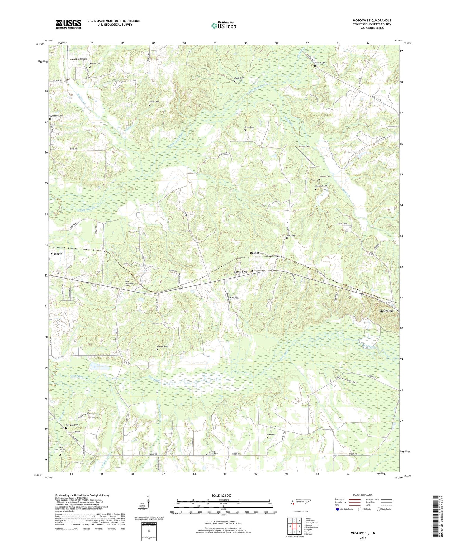
2019 topographic map quadrangle Moscow SE in the state of Tennessee. Scale: 1:24000. Based on the newly updated USGS 7.5' US Topo map series, this map is in the following counties: Fayette. The map contains contour data, water features, and other items you are used to seeing on USGS maps, but also has updated roads and other features. This is the next generation of topographic maps. Printed on high-quality waterproof paper with UV fade-resistant inks.
Quads adjacent to this one:
West: Moscow
Northwest: Macon
North: Somerville
Northeast: Hickory Valley
East: Grand Junction
Southeast: Canaan
South: Lamar
Southwest: Slayden
Contains the following named places: Ambrose Cemetery, Anderson Chapel, Anderson Grove Church, Anderson Grove School, Beasley Creek, Blackwell School, Commissioner District 7, Do Right Church, Early Grove Creek, Ewell Chapel, Forty Five, Forty Five Baptist Church, Forty Five School, Franklin Cemetery, Franklin School, Fredonia School, Friendship Cemetery, Green Cemetery, Hawks Nest Airport, Hickory Grove Cemetery, Hickory Grove Church, Hickory Grove School, Holmes Creek, Jackson Church, Johnson Cemetery, Jonesboro School, Liberty Church, Liberty School, Macedonia Cemetery, Mayos Cemetery, Moody Cemetery, Moscow-La Grange Division, Mount Tena Creek, New Bethel Church, New Bethel Missionary Baptist Church Cemetery, New Zion Cemetery - Old East Section, New Zion Church, New Zion School, Rather, Rives Cemetery, Shepard Creek, Shepherd Cemetery, Shiloh Cemetery, Sunnyside School, Union Grove Church, Watkins Cemetery, Watkins Creek, White School, Wilson Field, ZIP Code: 38057