
MyTopo
Noah Tennessee US Topo Map
Couldn't load pickup availability
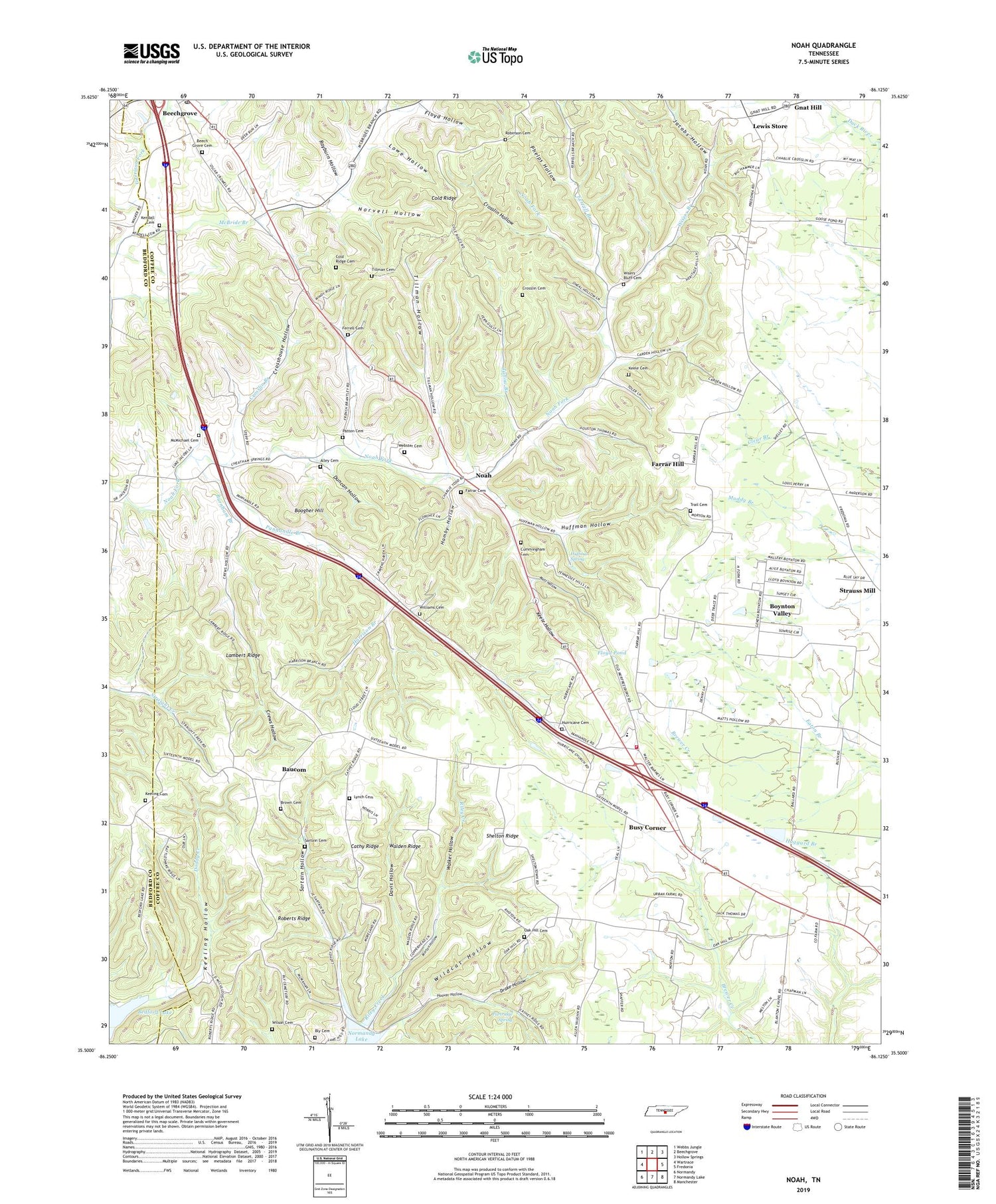
2019 topographic map quadrangle Noah in the state of Tennessee. Scale: 1:24000. Based on the newly updated USGS 7.5' US Topo map series, this map is in the following counties: Coffee, Bedford. The map contains contour data, water features, and other items you are used to seeing on USGS maps, but also has updated roads and other features. This is the next generation of topographic maps. Printed on high-quality waterproof paper with UV fade-resistant inks.
Quads adjacent to this one:
West: Wartrace
Northwest: Webbs Jungle
North: Beechgrove
Northeast: Hollow Springs
East: Fredonia
Southeast: Manchester
South: Normandy Lake
Southwest: Normandy
Contains the following named places: Alley Cemetery, Antioch Church, Baucom, Bedford Lake, Beech Grove Cemetery, Beech Grove Division, Beech Grove Methodist Church, Beech Grove School, Beechgrove Post Office, Bell Springs Church, Bly Cemetery, Boogher Hill, Boogher Hill School, Boynton Valley, Brown Cemetery, Burnham Branch, Busy Corner, Calhoun School, Cathy Ridge, Cold Ridge, Cold Ridge Cemetery, Commissioner District 11, Commissioner District 12, Crews Hollow, Crosshouse Hollow, Crosslin Branch, Crosslin Cemetery, Crosslin Hollow, Cummingham Cemetery, Davis Hollow, Drake Hollow, Duncan Hollow, Farrar Cemetery, Farrar Hill, Farrar Hill School, Ferrell Branch, Ferrell Cemetery, Floyd Hollow, Floyd Pond, Gnat Hill, Hamby Hollow, Harrison Branch, Hickersons Store, Hoover Hollow, Huffman Hollow, Huffman Spring, Hurricane Grove Cemetery, Hurricane Grove Church, Hurricane School, Jacobs Hollow, Jake Branch, Keele Cemetery, Keele Hollow, Keeling Cemetery, Keeling Hollow, Kendall Cemetery, Lambert Ridge, Lewis Store, Little Hurricane Church, Lowe Hollow, Lynch Cemetery, Matt Hollow, McBride Branch, McMichael Cemetery, Morton Hollow, Mount Pleasant Church, Noah, Noah Fork Church, Noah School, North Coffee Elementary School, North Coffee Volunteer Fire Department, Norvell Hollow, Oak Hill Cemetery, Old Grove Church, Panhandle Branch, Panhandle School, Partridge Spring, Patton Cemetery, Phelps Hollow, Rayburn Hollow, Riley Creek Church, Roberts Ridge, Robinson Cemetery, Sartain Cemetery, Sartain Hollow, Shelton Ridge, Sixteenth Model, Sixteenth Model School, Tallow Branch, The Barrens, Tillman Cemetery, Tillman Hollow, Trail Cemetery, Walden Ridge, Walker Hollow, Walkers Mill, Walkersville, Webster Cemetery, Westmoreland Water Supply Dam, Westmoreland Water Supply Lake, Wildcat Hollow, Williams Cemetery, Wilson Cemetery, Wisers Bluff Cemetery, Wisers Branch, Wisers Buff School


