MyTopo
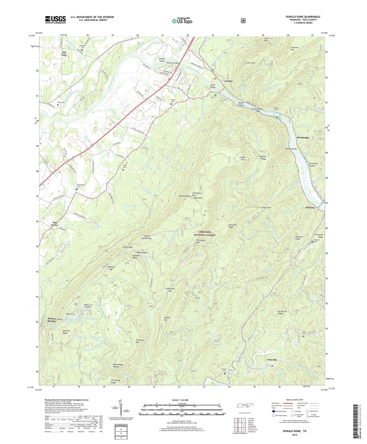
Oswald Dome Tennessee US Topo Map
Couldn't load pickup availability
Also explore the Oswald Dome Forest Service Topo of this same quad for updated USFS data
2022 topographic map quadrangle Oswald Dome in the state of Tennessee. Scale: 1:24000. Based on the newly updated USGS 7.5' US Topo map series, this map is in the following counties: Polk. The map contains contour data, water features, and other items you are used to seeing on USGS maps, but also has updated roads and other features. This is the next generation of topographic maps. Printed on high-quality waterproof paper with UV fade-resistant inks.
Quads adjacent to this one:
West: Benton
Northwest: Calhoun
North: Etowah
Northeast: Mecca
East: McFarland
Southeast: Ducktown
South: Caney Creek
Southwest: Parksville
This map covers the same area as the classic USGS quad with code o35084b5.
Contains the following named places: A and B Campground, Antioch Baptist Church, Arbutus Trail, Archville, Austral, Azalea Trail, Bates Branch, Bates Cemetery, Bean Mountain, Benton Division, Benton Falls, Benton Falls Trail, Benton Springs, Big Pine Trail, Big Spring, Biggs Spring Branch, Broad Shoals, Brock Graveyard Cemetery, Campbell Branch, Campbellite Cemetery, Carney Branch, Chestnut Mountain, Chestnut Mountain Trail, Chilhowee Airport, Chilhowee Forest Walk Trail, Chilhowee Mountain, Chilhowee Mountain Observation Site, Chilhowee Recreation Area, Clear Creek Trail, Clemmer Campsite, Clemmer Trail, Cloers Mill, Coffee Branch, Columbus, Commissioner District 1, Conasauga Creek, Confederate Camp Interpretive Site, Dairy Branch, Deep Gap, Deep Hollow, DeSoto Monument, Dry Branch, Drypond Branch, Drypond Ridge, Dunn Branch, Dunn Cemetery, Ernie King Hollow, Fishermans Trail, Franklin Spring Branch, Gee Creek, Gee Creek Campground, Gee Creek Trail, Gee Knob, Graveyard Ridge, Greasy Creek Baptist Church, Greasy Creek House of Prayer, Greasy Creek School, Hambright, Hancock Licklog Branch, Harbnson Bridge, Harrison Mill, Hawkins Branch, Higdon Branch, Hiwassee Gap, Hiwassee River Recreation Area, Hiwassee Union Church, Hooper Mountain, Hopper Branch, Horton Branch, Jenkins Island, Junebug Creek, Lake Agape, Lake Agape Dam, Laurel Branch, Left Prong Hiwassee River, Lillard Branch, Lillard Gap, Long Branch, Long Island, Loop A, Loop B, Loop C D E and F, Lost Corral Recreation Area, Lowry Branch, Lowry Cove Trail, Lowry Falls Trail, Lowry Top, McCamy Branch, McCamy Dam, McCamy Lake, McCamy Ridge, McCamy Spring, McKomey Dam, McKomey Lake, Millpoint Ridge, Millstone Ridge, Mountain View Church, Mulepen Branch, Mulepen Gap, Mulepen Ridge, Nicholson Branch, Nicholson Cemetery, Oak Grove, Oak Grove Baptist Church, Old Patty, Oswald Dome, Oswald Dome Lookout, Oswald Dome Trail, Parchcorn Ridge, Parker Branch, Parris Branch, Parris Cemetery, Pell Branch, Presswood Branch, Presswood Gap, Presswood Mountain, Prock Branch, Quinn Springs Recreation Area, Ram Pump Spring, Rattlesnake Hollow, Redleaf Trail, Reliance Cemetery, Reliance School, Right Prong Junebug Creek, Ritchie Branch, Rock Creek Scenic Area, Ruckers Branch, Runyon Cemetery, Savannah Ford, Siccowee Branch, Silvermine Branch, Slickrock Branch, Smiths Mill, Spanking Slump Branch, Spanking Stump Trail, Spring Creek, Spring Falls Branch, Sulphur Springs Gap, Taylor School, Taylors Island, Taylors Island Fishing Site, Tennessee State Boat Site, Tieskee Creek, Toby Stone Branch, Watertank Branch, West Polk County Fire and Rescue Station 5, West Polk County Fire and Rescue Station 6, Wildcat Branch, ZIP Code: 37307


