MyTopo
Parrottsville Tennessee US Topo Map
Couldn't load pickup availability
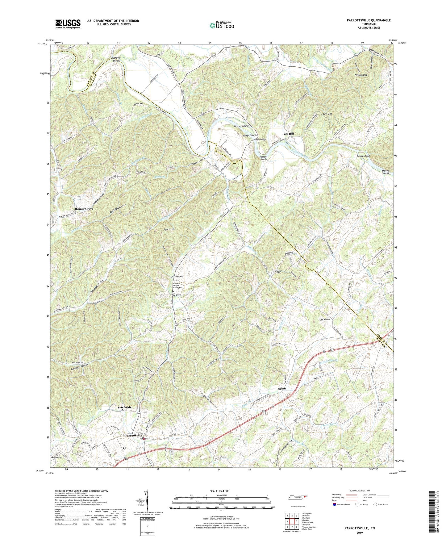
2019 topographic map quadrangle Parrottsville in the state of Tennessee. Scale: 1:24000. Based on the newly updated USGS 7.5' US Topo map series, this map is in the following counties: Cocke, Greene. The map contains contour data, water features, and other items you are used to seeing on USGS maps, but also has updated roads and other features. This is the next generation of topographic maps. Printed on high-quality waterproof paper with UV fade-resistant inks.
Quads adjacent to this one:
West: Rankin
Northwest: Springvale
North: Mohawk
Northeast: Mosheim
East: Cedar Creek
Southeast: Paint Rock
South: Neddy Mountain
Southwest: Newport
Contains the following named places: Barger Hollow, Bear Creek, Bear Creek Baptist Church, Bewley Chapel, Bewley Island, Big Oven, Bird Hill, Bower Hollow, Brookside Mill, Browns Shoals, Bruner Grove, Bruner Grove United Methodist Church, Bruner Hollow, Bruners Grove School, Buck Branch, Buleys Shoals, Busler Branch, Busler Hollow, Byrd Holt Hollow, Cobble Branch, Curentons Ferry, Dawson Valley School, Easterly School, Ellison Knob, Evans Island, Fox Hollow, Freshour Hollow, Goodwater Branch, Goodwater School, Hale Bridge, Harned Chapel, Harned chapel School, Harneds Chapel Graveyard, Houston Chapel, Jackson Branch, Jackson Chapel, Johnson Branch, Keesel Hollow, Kyker Branch, Little Chucky Creek, Little Oven, Love Memorial Church, Low Gap, Luther Memorial Church, Lynch Hill, Mount Bethany Church, Needmore Branch, Nelsons Ferry, Nelsons Shoals, North Fork Clear Creek, Norton Hollow, Ottering Shelton Chapel, Ottinger, Ottinger Cemetery, Ottinger Creek, Ottinger School, Ottinger Shelton Chapel, Oven Creek, Oven Creek Church, Palmer Hollow, Parrotsville Elementary School, Parrottsville, Parrottsville Post Office, Parrottsville United Methodist Church, Parrottsville Volunteer Fire Department, Pate Hill, Phillips Hollow, Poplar Springs School, Rader Branch, Reaves Mill, Salem, Salem Church, Salem School, Scsruggs Shoals, Shelton Branch, Shelton Chapel, Sinking Creek, Slate Creek, South Fork Clear Creek, Stillhouse Branch, Stullz Branch, The Knobs, Tobey Hollow, Town of Parrottsville, Trantham Hollow, Union Hill Church, Warrensburg Airport, Zion Hill School, ZIP Code: 37843