MyTopo
Whiteoak Flats Tennessee US Topo Map
Couldn't load pickup availability
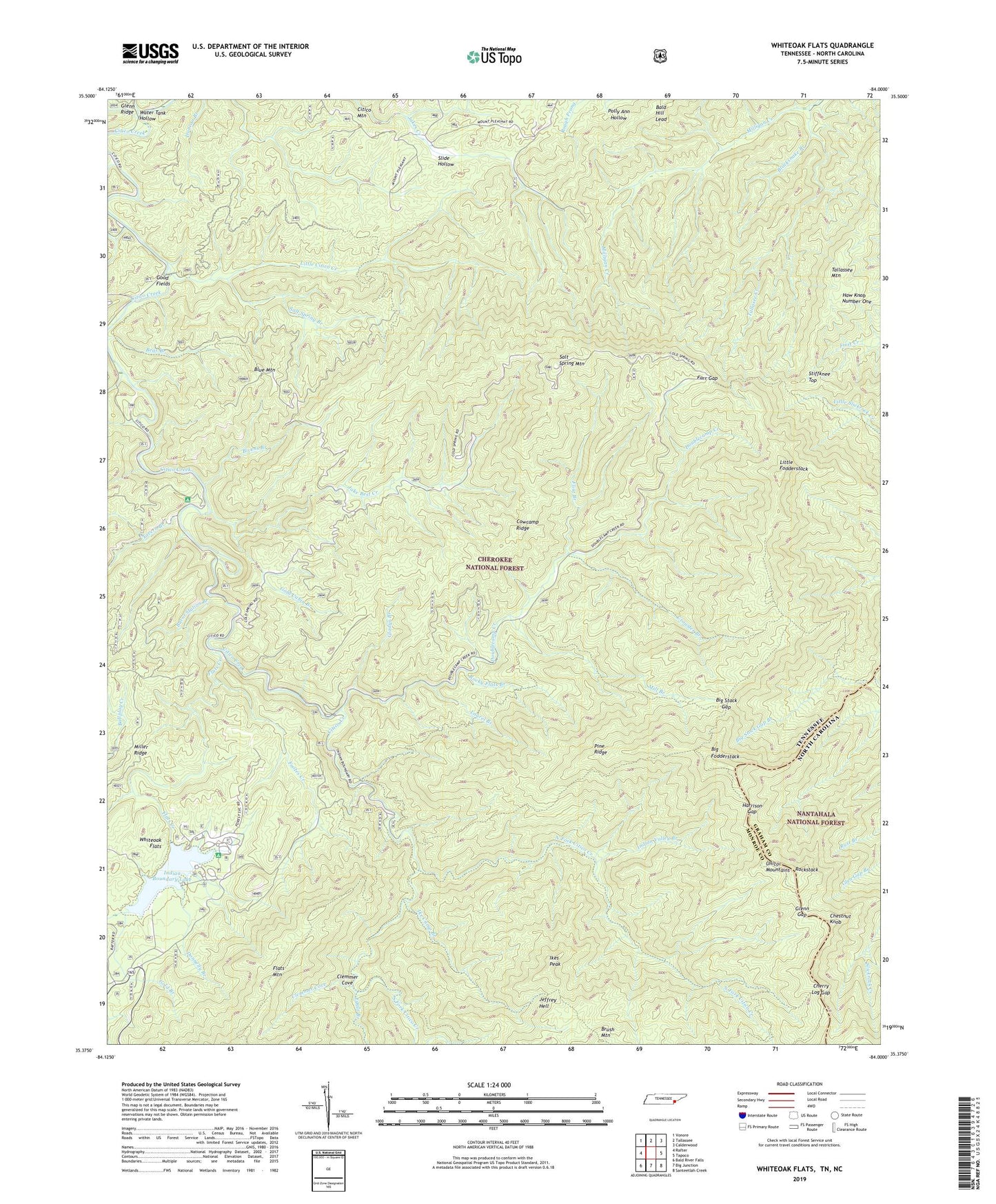
2019 topographic map quadrangle Whiteoak Flats in the states of Tennessee, North Carolina. Scale: 1:24000. Based on the newly updated USGS 7.5' US Topo map series, this map is in the following counties: Monroe, Graham. The map contains contour data, water features, and other items you are used to seeing on USGS maps, but also has updated roads and other features. This is the next generation of topographic maps. Printed on high-quality waterproof paper with UV fade-resistant inks.
Quads adjacent to this one:
West: Rafter
Northwest: Vonore
North: Tallassee
Northeast: Calderwood
East: Tapoco
Southeast: Santeetlah Creek
South: Big Junction
Southwest: Bald River Falls
Contains the following named places: Bald Hill Lead, Barkcamp Branch, Bear Branch, Big Fodderstack, Big Stack Gap, Big Stack Gap Branch, Big Stack Gap Branch Trail, Big Stock Gap Branch, Bivens Branch, Blacksnake Branch, Blue Mountain, Brush Mountain Trail, Burnt Station Branch, Caney Branch, Cherry Log Gap, Chestnut Knob, Citico, Citico Creek Wilderness, Citico Mountain, Citico Warden Station, Clemmer Cove, Cold Spring Lookout Tower, Cowcamp Ridge, Crowder Branch, Crowder Branch Trail, Donnelly Branch, Double Camp Recreation Area, Doublecamp Campground, Doublecamp Creek, Eagle Branch, Farr Gap, Flats Creek, Flats Mountain Trail, Flint Branch, Fodderstack Trail, Footes Creek, Gladys Branch, Glenn Gap, Gold Branch, Gold Cabin Branch, Good Fields, Harrison Gap, Haw Knob Number One, Ike Camp Branch, Ikes Peak, Indian Boundary Dam, Indian Boundary Lake, Indian Boundary Lake Recreation Area, Indian Boundary Lake Trail, Indian Boundary Recreation Area, Indian Valley Branch, Jake Best Campground, Jake Best Creek, Jeffrey, Jeffrey Hell, Laurel Branch, Little Citico Creek, Little Fodderstack, Mill Branch, Mill Branch Trail, Milligan Creek, Moccasin Path Trail, North Fork Citico Creek, North Fork Citico Trail, Pine Ridge, Pine Ridge Trail, Pleasant Grove Church, Rockstack, Rocky Flats Branch, Rocky Flats Trail, Salt Spring Branch, Salt Spring Mountain, South Fork Citico Creek, Stiffknee Top, Stiffknee Trail, Tallassee Mountain, Tallassee School, Tavern Branch, Tellico Wildlife Management Area, Water Tank Hollow, Whiteoak Flats