MyTopo
Alligator Draw Texas US Topo Map
Couldn't load pickup availability
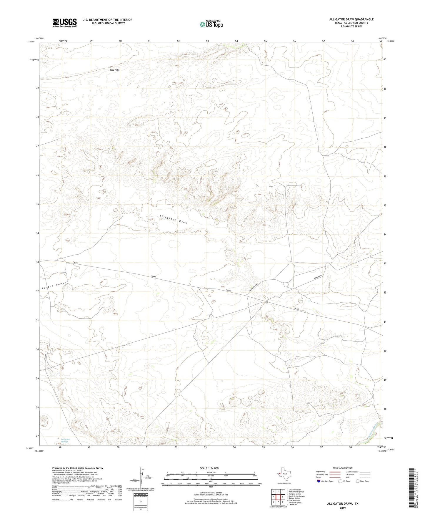
2019 topographic map quadrangle Alligator Draw in the state of Texas. Scale: 1:24000. Based on the newly updated USGS 7.5' US Topo map series, this map is in the following counties: Culberson. The map contains contour data, water features, and other items you are used to seeing on USGS maps, but also has updated roads and other features. This is the next generation of topographic maps. Printed on high-quality waterproof paper with UV fade-resistant inks.
Quads adjacent to this one:
West: South Rector Canyon
Northwest: Grapevine Draw
North: Rattlesnake Springs
Northeast: Jumping Spring
East: Outlaw Spring
Southeast: Castile Hill
South: Delaware Spring
Southwest: Cow Mountain
Contains the following named places: Delaware River Ranch, Delaware Springs, Down-in-the-Hole Windmill, East Well, East Windmill, Fence Line Windmill, Rector Canyon