MyTopo
Outlaw Spring Texas US Topo Map
Couldn't load pickup availability
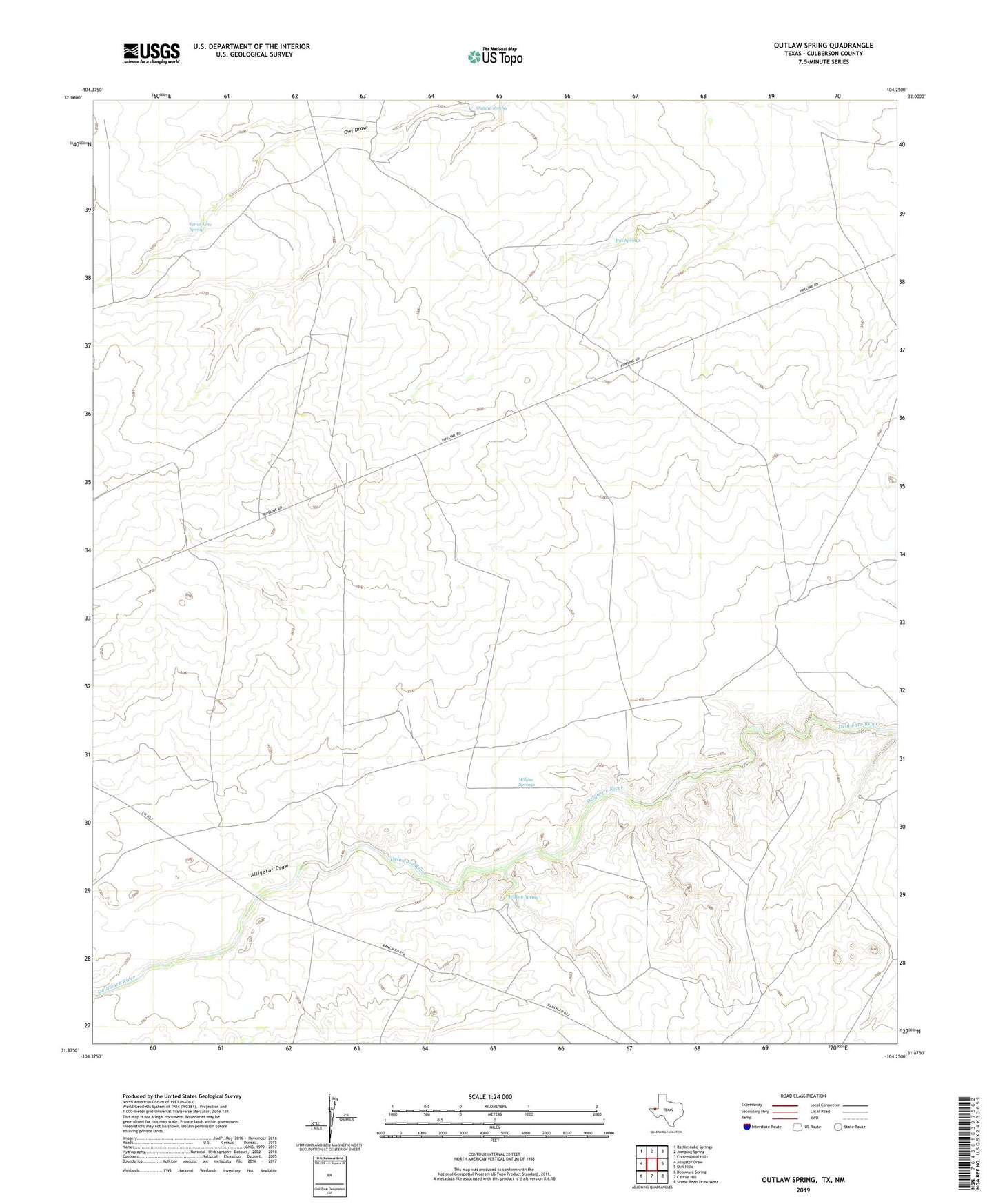
2022 topographic map quadrangle Outlaw Spring in the state of Texas. Scale: 1:24000. Based on the newly updated USGS 7.5' US Topo map series, this map is in the following counties: Culberson, Eddy. The map contains contour data, water features, and other items you are used to seeing on USGS maps, but also has updated roads and other features. This is the next generation of topographic maps. Printed on high-quality waterproof paper with UV fade-resistant inks.
Quads adjacent to this one:
West: Alligator Draw
Northwest: Rattlesnake Springs
North: Jumping Spring
Northeast: Cottonwood Hills
East: Owl Hills
Southeast: Screw Bean Draw West
South: Castile Hill
Southwest: Delaware Spring
This map covers the same area as the classic USGS quad with code o31104h3.
Contains the following named places: Alligator Draw, Barren Well, Box Springs, Chimney Well, Fence Line Spring, Outlaw Spring, Shipping Pens Well, Willow Spring, Willow Springs