MyTopo
Armstrong Ranch Texas US Topo Map
Couldn't load pickup availability
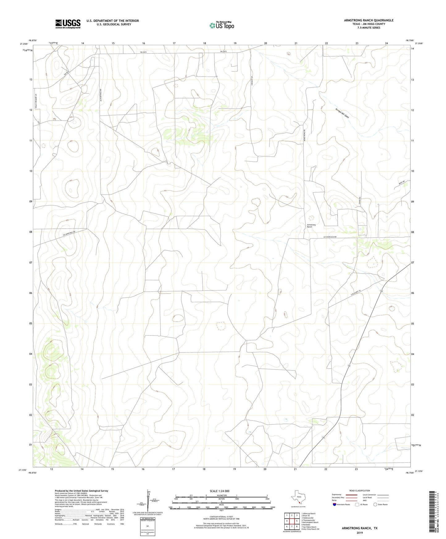
2019 topographic map quadrangle Armstrong Ranch in the state of Texas. Scale: 1:24000. Based on the newly updated USGS 7.5' US Topo map series, this map is in the following counties: Jim Hogg. The map contains contour data, water features, and other items you are used to seeing on USGS maps, but also has updated roads and other features. This is the next generation of topographic maps. Printed on high-quality waterproof paper with UV fade-resistant inks.
Quads adjacent to this one:
West: Thompsonville
Northwest: Albercas Ranch
North: Bruni SE
Northeast: Hebbronville
East: McCampbell Ranch
Southeast: Alta Vista Ranch SW
South: San Pablo Ranch
Southwest: Randado
Contains the following named places: Armstrong Oil Field, Armstrong Ranch, Azucar Windmill, Chorrito Windmill, Las Animas Oil and Gas Field, Nuevo Windmill